Noyse Creek facts for kids
Quick facts for kids Noyse Creek |
|
|---|---|
|
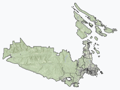
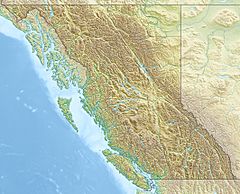
Location of the mouth of Noyse Creek
|
|
| Country | Canada |
| Province | British Columbia |
| District | Capital Regional District |
| Physical characteristics | |
| Main source | unnamed confluence San Juan Ridge 782 m (2,566 ft) 48°32′44″N 124°11′50″W / 48.54556°N 124.19722°W |
| River mouth | Loss Creek 150 m (490 ft) 48°29′47″N 124°14′10″W / 48.49639°N 124.23611°W |
Noyse Creek is a small stream located in British Columbia, Canada. You can find it on the southern part of Vancouver Island. This creek flows into another stream called Loss Creek.
The Journey of Noyse Creek
Noyse Creek starts high up on the San Juan Ridge. It begins where two small streams join together. This starting point is about 782 metres (2,566 ft) (or 2,566 feet) above sea level. Imagine starting your journey from a high mountain!
From there, the creek flows towards the southwest. It travels downhill until it meets Loss Creek. This meeting point is about 150 metres (490 ft) (or 492 feet) above sea level. It's located southeast of a small settlement called Port Renfrew.
Loss Creek then continues its journey to the Strait of Juan de Fuca. The Strait of Juan de Fuca is a large body of water that connects to the huge Pacific Ocean. So, Noyse Creek's water eventually reaches the ocean!
 | Delilah Pierce |
 | Gordon Parks |
 | Augusta Savage |
 | Charles Ethan Porter |


