Quick facts for kids
Joice Island

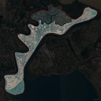
USGS aerial imagery of Joice Island, with proposed addition to reclamation district 2141 partially shaded at top.
|
Location in Sacramento-San Joaquin River Delta
Show map of Sacramento-San Joaquin River Delta
Location in San Francisco Bay Area
Show map of San Francisco Bay Area
Location in California
Show map of California
Location in the United States
Show map of the United States
|
| Geography |
| Location |
Northern California |
| Coordinates |
38°09′00″N 122°03′34″W / 38.15000°N 122.05944°W / 38.15000; -122.05944 (Joice Island) |
| Adjacent bodies of water |
Suisun Bay |
| Administration |
|
|
| State |
 California California |
| County |
Solano |

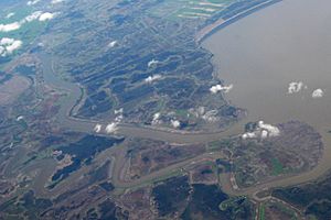
Aerial photo of Joice Island
Joice Island is a small island located in Grizzly Bay. This bay is part of Suisun Bay, which is near the famous San Francisco Bay Area in California. Joice Island is part of Solano County.
Part of the island is looked after by a group called Reclamation District 2141. These districts help manage land, often protecting it from floods. The island is surrounded by several waterways. To the east is Montezuma Slough, and to the south is Morrow Island. On its west side is Suisun Slough, and to the north, you'll find Cutoff Slough.
Island History
Joice Island has been known for a long time. It even appeared on old maps from the 1850s! An early map from 1850 was made by Cadwalader Ringgold. Another map from 1854 was created by Henry Lange. Both maps showed an island in the same general area as Joice Island is today.


