List of Pennsylvania state historical markers in Clinton County facts for kids
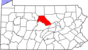
Welcome to Clinton County, Pennsylvania! Did you know that this area is full of interesting history? All around the county, you can find special signs called Pennsylvania state historical markers. These markers are like outdoor history books! They tell us about important people, places, and events that happened right here.
The Pennsylvania Historical and Museum Commission (PHMC) puts up these markers. They help everyone learn about the past. In Clinton County, there are 12 of these cool historical markers. Each one shares a unique story about Pennsylvania's history. Let's explore some of them!
Exploring Clinton County's History Through Markers
Clinton County Marker
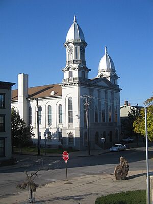
This marker is located at the Clinton County Courthouse in Lock Haven. It tells the story of Clinton County itself. The county was formed a long time ago, and this marker helps us understand its early government and how businesses grew here. It's a great way to learn about the county's beginnings and how it became what it is today.
Daniel H. Hastings Marker
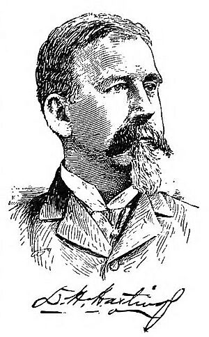
This marker is found on Route 64, northwest of Salona. It honors Daniel H. Hastings, who was a governor of Pennsylvania in the late 1800s. He was involved in politics and helped shape the state. The marker also touches on the history of farming in the area.
Fort Horn Marker
This marker tells us about Fort Horn, an important fort from the time of the American Revolution. It was located northeast of Lock Haven. Forts like this were built to protect settlers during conflicts. Even though the marker might be missing now, its story reminds us of the brave people who lived here during the revolution.
Fort Reed Marker
This marker in Lock Haven, on West Main Street, marks the location of Fort Reed. This fort was important during the French and Indian War. It was another military outpost built to defend the area. Learning about these forts helps us understand the challenges early settlers faced.
The Great Island Marker
This marker, located northeast of Lock Haven, points to a special place called The Great Island. This island was very important to Native American tribes who lived here long before European settlers arrived. It was a central meeting place and a significant part of their history and culture.
Great Shamokin Path Marker
This marker, southwest of Lock Haven, tells us about the Great Shamokin Path. This was an ancient trail used by Native Americans for travel and trade. It was a major pathway through the wilderness, connecting different communities. It's a reminder of how people traveled long ago.
Leidy Natural Gas Boom Marker
This marker in Leidy Township talks about the Leidy Natural Gas Boom. This was a time when a lot of natural gas was discovered and extracted in the area. It brought a lot of business and industry to Clinton County, changing the economy and the lives of many people.
Pennsylvania Canal (West Branch Division) Marker
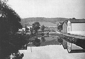
Located in Lock Haven, this marker highlights the Pennsylvania Canal (West Branch Division). Canals were like man-made rivers that helped transport goods and people across the state before railroads were common. This canal was a vital part of transportation and trade in the 1800s.
Shamokin Path Marker
This marker, northeast of Lock Haven, also points to a section of the Shamokin Path. Like the Great Shamokin Path, this was another important trail used by Native Americans. These paths were crucial for travel, hunting, and trade, showing us how connected the land was for its first inhabitants.
Sinnemahoning Path Marker
Found northwest of Lock Haven, this marker tells us about the Sinnemahoning Path. This was another significant Native American trail. It helped people travel through the wilderness, connecting different parts of what is now Pennsylvania. These paths are a testament to the rich history of Native American travel and communication.
Tiadaghton Elm Markers
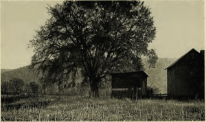
There are two markers for the Tiadaghton Elm, one southeast of Avis and another nearby. The Tiadaghton Elm was a famous tree where a group of settlers, known as the "Fair Play Men," declared their own independent government before the American Revolution. This shows how early settlers organized themselves and made important decisions about their communities.
Images for kids
See also
- List of Pennsylvania state historical markers
- National Register of Historic Places listings in Clinton County, Pennsylvania
 | Calvin Brent |
 | Walter T. Bailey |
 | Martha Cassell Thompson |
 | Alberta Jeannette Cassell |


