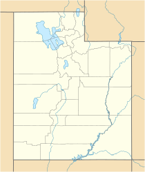
Little Creek Peak facts for kids
Quick facts for kids Little Creek Peak |
|
|---|---|
| Highest point | |
| Elevation | 10,145 ft (3,092 m) |
| Prominence | 1,180 feet (360 m) |
| Geography | |
| Location | Iron County, Utah, U.S |
| Parent range | Markagunt Plateau |
| Topo map | USGS |
Little Creek Peak is a mountain located in the southwestern part of Utah, in a place called Iron County. It's a tall natural landmark that stands out in the landscape.
About Little Creek Peak
Little Creek Peak is a mountain that reaches a height of about 10,145 feet. That's more than 10,000 feet above sea level! It's a significant point in the area.
Where is Little Creek Peak Located?
This mountain is found in eastern Iron County, Utah. It's about 29 miles northeast of a city called Cedar City. You can find it between two major roads: I-15 and U.S. Route 89.
Part of Dixie National Forest
Little Creek Peak is located within the Dixie National Forest. This is a large area of protected land managed by the United States Forest Service. It's known for its beautiful scenery, forests, and outdoor activities.

All content from Kiddle encyclopedia articles (including the article images and facts) can be freely used under Attribution-ShareAlike license, unless stated otherwise. Cite this article:
Little Creek Peak Facts for Kids. Kiddle Encyclopedia.

