Little Ponton and Stroxton facts for kids
Little Ponton and Stroxton is a small area in Lincolnshire, England. It's known as a civil parish, which is like a local community area. In 2011, about 235 people lived here in 62 homes.
This parish includes the villages of Little Ponton and Stroxton. It also has a special nature area called Woodnook Valley. You can find traces of an old Roman settlement and part of a Roman road called Ermine Street here. Locals often call this road the High Dyke.
Contents
About the Civil Parish
This civil parish was formed in 1931. It brought together the older areas of Little Ponton and Stroxton.
A group called the parish council helps manage local matters. They work to make decisions for the community.
Ancient History of the Area
This area has a long history, going back to Roman times. A Roman settlement was found at Saltersford, near the River Witham. Some experts believe this was the Roman town of Causennae or Causennis. This town is mentioned in old Roman travel guides.
Saltersford was once part of an important trade route. This route connected Droitwich to the Wash. A part of the famous Roman road called Ermine Street also runs through the parish. People in the area often call this ancient road the High Dyke.
Exploring the Geography
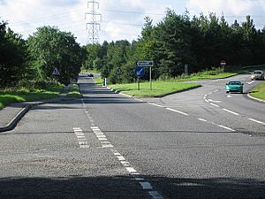
The parish is split by the A1 road. This is a major road in England. In the south, it follows the path of an even older road. This older road was called The Great North Road.
Near Grantham, the A1 road splits off. The new route goes northwest as the Grantham Bypass. The older route, now called B1174, still goes north into Grantham.
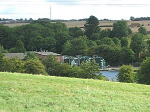
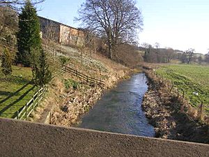
The ancient Roman road, High Dyke, crosses the eastern part of the parish. The River Witham flows through the parish from south to north. The East Coast Main Line, a railway, runs next to the river.
Little Ponton, Saltersford, and the River Witham are in a valley. This area is about 60 meters above sea level. To the east of the river, the land rises to about 120 meters. This higher land is near Poplar Farm. To the west, the land also goes uphill. Sproxton is in the far west of the parish. It sits at 108 meters on an area called Ponton Heath.
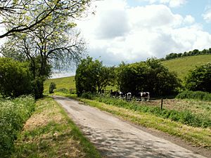
The landscape has a basic 'V' shape. But it's made more complex by other features. The Woodnook Valley and a small stream from Sproxton cut across the land. These are deep, small valleys that run at right angles to the Witham. Most of the land outside the villages is used for farming. There are a few small wooded areas. The largest woodland is Ponton Park Wood.
The ground beneath the parish is mostly Lincolnshire limestone. To the west, on Ponton Heath, you find the lower limestone. To the east, around High Dyke, you find the upper limestone. The Witham valley has its own deposits. These include clay, silt, and gravel. Little Ponton sits on a small raised area. This area is made of sand and gravel from after the ice age. Many springs around Sproxton are typical of the lower Lincolnshire limestones.
Woodnook Valley Nature Reserve
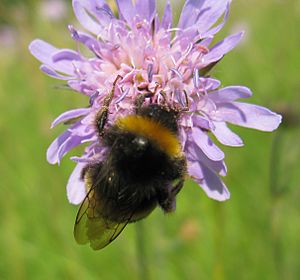
Woodnook Valley has been a SSSI since 1986. This means it's a very important place for nature. It's a special type of grassland called calcareous grassland. This kind of grassland grows on chalky soil.
Plants and Flowers
You can find many interesting plants here. Two types of orchids grow in the valley. These are the early purple orchid and the man orchid. Other plants include the carline thistle and the mouse-ear hawkweed. You might also see harebell, glaucous sedge, and common centaury.
Insects and Wildlife
When the grassland plants are blooming, many insects appear. Garden bumblebees are often seen on field scabious flowers. Different types of butterflies also live here. These include the small copper and common blue butterflies. You can also spot various "brown" butterflies. Examples are the meadow brown, gatekeeper, and ringlet.
Birds of prey, called raptors, also live in the area. You might see a kestrel, buzzard, or red kite. They hunt small animals like rodents and rabbits in the grassland.
 | Kyle Baker |
 | Joseph Yoakum |
 | Laura Wheeler Waring |
 | Henry Ossawa Tanner |


