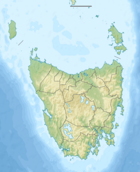
Mackintosh River facts for kids
Quick facts for kids Mackintosh |
|
|---|---|
| Country | Australia |
| State | Tasmania |
| Region | West Coast |
| Physical characteristics | |
| Main source | West Coast Range |
| River mouth | Pieman River below Tullah 161 m (528 ft) 41°44′00″S 145°36′38″E / 41.73333°S 145.61056°E |
| Length | 20 km (12 mi) |
| Basin features | |
| River system | Pieman River catchment |
| Tributaries |
|
| Reservoir | Lake Mackintosh |
The Mackintosh River is an important river in Tasmania, Australia. It's part of the larger Pieman River system. This river always has water flowing in it, which is why it's called a perennial river. It was named in November 1828 by Henry Hellyer. He was a surveyor who named it after Sir James Mackintosh.
Where the River Flows
The Mackintosh River starts where two smaller streams meet. These are the Fury River and Mackintosh Creek. This meeting point, called a confluence, is near Mount Remus. Mount Remus is part of the West Coast Range mountains.
The river flows a short distance through what is now Lake Mackintosh. Along its way, four smaller rivers or creeks join it. These include the Sophia River and the Southwell River. Finally, the Mackintosh River flows into the Pieman River.
Making Electricity
The Mackintosh River is very important for making electricity. A large wall, called the Mackintosh Dam, holds back the river's water. This creates Lake Mackintosh. Next to the dam is a hydroelectric power station. This station uses the force of the water to spin turbines and create electricity. It's part of a bigger project called the Pieman River Power Development, run by Hydro Tasmania.
The river drops about 75 metres (246 ft) (246 feet) over its 20-kilometre (12 mi) (12-mile) journey. This drop helps create the power needed for electricity.
River Area and Surroundings
The area where the Mackintosh River and its smaller streams collect water is called its catchment. The eastern edge of this catchment is near a mountain called Barn Bluff. This area also borders the catchment of the Murchison River.
The southern part of the Mackintosh River's catchment is very close to the Murchison River's area. Here, the Sophia River is the main waterway. North of the Sophia River, a creek called White Hawk drains land with interesting rock formations like Granite Tor and High Tor. These are east of the town of Tullah.
The northern part of the Mackintosh catchment has several named streams that flow into it. The Fury River, which starts near Barn Bluff, is the main stream coming from the east. Schist Creek flows from Mount Remus into the Fury River. The Belvoir River drains Mayday Mountain in the northeast. In the northwest, the Southwell River flows from the eastern slopes of Mount Charles.
The name of the Mackintosh River is used on many maps of the area. It has been on maps for a long time, even on very old ones.
 | John T. Biggers |
 | Thomas Blackshear |
 | Mark Bradford |
 | Beverly Buchanan |


