Magpie Lane, Oxford facts for kids

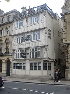
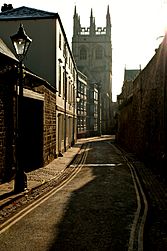
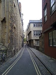
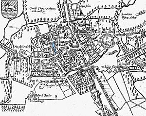
Magpie Lane is a narrow, old street located in the heart of Oxford, England. It stretches from the busy High Street in the north to the cobblestone Merton Street in the south. The northern part of the lane is very narrow and is now only for people walking.
To the west of Magpie Lane, you'll find Oriel College. To the east is University College. Both are among the oldest and most famous colleges in Oxford. Near the southern end, a small street called Kybald Street branches off to the east. This street is a cul-de-sac, meaning it's a dead-end street with only one way in and out.
South of Merton Street, Magpie Lane changes its name to Grove Walk. This path runs between Merton College on the east and Corpus Christi College on the west. Grove Walk offers a way for people to walk through gates to other interesting places like Dead Man's Walk, Merton Field, and Christ Church Meadows.
History of Magpie Lane
Magpie Lane has an interesting history, especially regarding its name. In the 1600s, it was first called Magpie Lane. This name came from a local pub in the lane that used a picture of a magpie as its sign.
Later, in the late 1800s, the street's name was changed to Grove Street. However, this new name didn't last forever. In 1927, the city decided to change it back to its original and more unique name, Magpie Lane.
In the 1960s, some of the houses between Kybald Street and Merton Street were taken down. This was done by Corpus Christi College to make room for newer, more modern homes for students.
 | Dorothy Vaughan |
 | Charles Henry Turner |
 | Hildrus Poindexter |
 | Henry Cecil McBay |


