Marsh Creek (Portneuf River tributary) facts for kids
Quick facts for kids Marsh Creek |
|
|---|---|
|
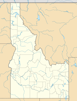
Location of the mouth of Marsh Creek in Idaho
|
|
| Country | United States |
| State | Idaho |
| County | Bannock County, Idaho |
| Physical characteristics | |
| Main source | near Red Rock Pass, Bannock County, Idaho 5,157 ft (1,572 m) 42°24′12″N 112°01′37″W / 42.40333°N 112.02694°W |
| River mouth | Portneuf River near Inkom, Bannock County, Idaho 4,518 ft (1,377 m) 42°47′40″N 112°15′28″W / 42.79444°N 112.25778°W |
| Length | 56 mi (90 km) |
Marsh Creek is a cool waterway in Idaho, USA. It's like a smaller river that flows into a bigger one. This type of smaller river is called a tributary. Marsh Creek is a tributary of the Portneuf River. It flows through Bannock County.
Marsh Creek's Journey
Marsh Creek starts its journey high up in the mountains. Its source is near a place called Red Rock Pass. This is in Bannock County, Idaho. The water here is about 5,157 feet (or 1,572 meters) above sea level. That's pretty high!
From there, Marsh Creek flows mostly north. It passes by small towns like Downey and Arimo. As it gets closer to the Portneuf River, it flows right next to it. This happens near McCammon.
The creek finally joins the Portneuf River near Inkom. At this point, the elevation is about 4,518 feet (or 1,377 meters). So, the water travels downhill quite a bit!
Quick Facts About Marsh Creek
- Marsh Creek is about 56 miles (or 90 kilometers) long. That's a good distance for a creek!
- For most of its path, Marsh Creek flows right next to Interstate 15. This means if you're driving on that highway, you might see the creek flowing alongside you.
- It starts high up at 5,157 feet and ends at 4,518 feet. This drop in elevation helps the water flow.
 | Janet Taylor Pickett |
 | Synthia Saint James |
 | Howardena Pindell |
 | Faith Ringgold |


