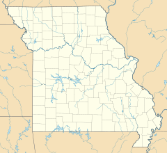
McGee, Missouri facts for kids
Quick facts for kids
McGee
|
|
|---|---|
| Country | United States |
| State | Missouri |
| County | Wayne |
| Elevation | 390 ft (119 m) |
| Time zone | UTC-6 (Central (CST)) |
| • Summer (DST) | UTC-5 (CDT) |
| ZIP codes |
63763
|
| GNIS feature ID | 741053 |
McGee is a small, unincorporated community located in eastern Wayne County, Missouri, in the United States. An unincorporated community means it's a group of homes or buildings that isn't part of a city or town with its own local government.
Where is McGee?
McGee is found about twenty-three miles northeast of a larger town called Poplar Bluff. It sits at an elevation of about 387 feet (119 meters) above sea level. The community is right on the south bank of a waterway known as McGee Creek. You can find it along Missouri Route TT. Not far from McGee, about three miles to the southeast, is the Mingo Swamp and a special wildlife reserve.
How McGee Got Its Name
The community of McGee has had its own post office since the year 1906. The name "McGee" comes from a person named Tom McGhee. He was a local postal worker in the area, and the community was named in his honor.
 | Delilah Pierce |
 | Gordon Parks |
 | Augusta Savage |
 | Charles Ethan Porter |


