Miles, Wisconsin facts for kids
Quick facts for kids
Miles, Wisconsin
|
|
|---|---|
 |
|
| Country | |
| State | |
| County | Marinette |
| Elevation | 204 m (669 ft) |
| Time zone | UTC-6 (Central (CST)) |
| • Summer (DST) | UTC-5 (CDT) |
| Area code(s) | 715 & 534 |
| GNIS feature ID | 1876857 |
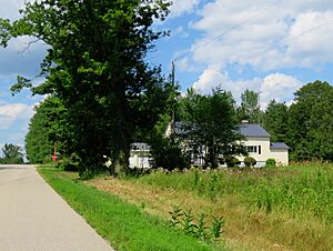
Miles is a small, unnamed community in Marinette County, Wisconsin, United States. It's called an "unincorporated community" because it doesn't have its own local government like a city or town. Instead, it's part of the larger Town of Porterfield.
Where is Miles Located?
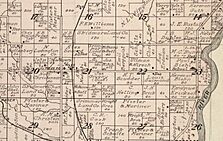
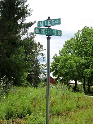
Miles is found where Miles Road and Winesville Road meet. It sits at an elevation of about 689 feet (210 meters) above sea level. You can reach Miles by road from several nearby places. To the north, it connects to Goll and Wagner. To the south, it links up with Walsh and the main Porterfield community. It also has a connection to Wisconsin Highway 180 to the east.
A Look at Miles' Past
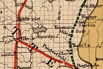
Miles used to be an important stop on the Wisconsin & Michigan (W. & M.) Railway. This railway line ran between Bagley Junction and Iron Mountain. Trains would stop here on their way between Twin Creek and Goll.
However, the railway line through Miles was closed in 1938. The tracks were removed, and the trains were sold. Today, Miles Road runs through the community, following a path east of where the old railway line used to be.
Miles also had its own post office for a short time, from 1909 to 1912. There was even a school in Miles that taught local children until 1963. After that, a new elementary school was built in Porterfield, and students went there instead.
 | Tommie Smith |
 | Simone Manuel |
 | Shani Davis |
 | Simone Biles |
 | Alice Coachman |


