Minnesota Valley State Recreation Area facts for kids
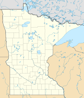
The Minnesota Valley State Recreation Area is a special park area in Minnesota, United States. It covers about 5,490-acre (2,222 ha) of land. This park is not one big piece of land. Instead, it is made up of several smaller areas called "waysides."
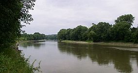
Four of these waysides are located along the Minnesota River. They stretch between the towns of Shakopee and Belle Plaine. These park areas are mixed in with parts of the Minnesota Valley National Wildlife Refuge. This refuge is also part of the larger Mississippi National River and Recreation Area.
Even though different groups manage these areas, they work together. The state recreation area is run by the Minnesota Department of Natural Resources. The national wildlife refuge is managed by the United States Fish and Wildlife Service. Both groups use similar signs to make it easy for visitors to find their way around.
Contents
How the Park Was Created
People have known since at least 1939 that the lower Minnesota River valley was a beautiful place. They thought it would be great for outdoor activities.
Early Ideas for a Park
In 1967, a plan was made to create a large state park. It would have been about 18,000-acre (73 km2). But the Minnesota Legislature, which makes laws for the state, did not approve this plan. Two years later, a smaller park idea also failed to pass.
Creating the State Trail
However, in 1969, a different plan was approved. This plan created the Minnesota Valley State Trail. This trail was designed to run from Fort Snelling State Park all the way to the town of Le Sueur.
The trail plan also included six waysides. These waysides were like small park areas along the trail. Together, they covered over 5,000 acres (20 km2). Even the smallest wayside was bigger than some of Minnesota's other state parks! This was a clever way to add parts of the valley to the state park system.
Adding More Protected Land
Later, in 1976, the Minnesota Valley National Wildlife Refuge was officially started. This meant even more land in the valley, which people had wanted for the state park, became protected by the federal government.
 | Madam C. J. Walker |
 | Janet Emerson Bashen |
 | Annie Turnbo Malone |
 | Maggie L. Walker |


