Mona, Iowa facts for kids
Quick facts for kids
Mona, Iowa
|
|
|---|---|
| Country | United States |
| State | Iowa |
| County | Mitchell |
| Area | |
| • Total | 2.27 sq mi (5.89 km2) |
| • Land | 2.27 sq mi (5.89 km2) |
| • Water | 0.00 sq mi (0.00 km2) |
| Elevation | 1,165 ft (355 m) |
| Population
(2020)
|
|
| • Total | 35 |
| • Density | 15.38/sq mi (5.94/km2) |
| Time zone | UTC-6 (Central (CST)) |
| • Summer (DST) | UTC-5 (CDT) |
| ZIP Code |
50472 (St. Ansgar)
|
| Area code(s) | 641 |
| GNIS feature ID | 459167 |
| FIPS code | 18-53085 |
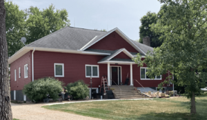
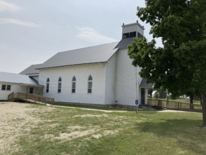
Mona is a very small community in Mitchell County, Iowa, in the United States. It's known as an "unincorporated community" because it doesn't have its own local government like a city or town. It's also a "census-designated place," which means the U.S. Census Bureau counts its population separately. In 2020, only 35 people lived in Mona.
History of Mona
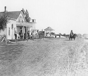
Mona began in 1869. This was after the Illinois Central Railroad built tracks through the area. The community was officially mapped out on May 30, 1870. Mary C. Agard, Benjamin Agard, Edward Gregory, and Charles Gregory were the people who planned it.
In 1917, Mona had one school building. It had 56 students and two teachers. Around that time, Mona started to become less important. Most of the railroad business moved to Lyle, Minnesota. Lyle is a town just across the border in Minnesota.
Geography of Mona
Mona is located in the northern part of Mitchell County. The northern edge of the community is right on the border with Minnesota. The city of Lyle, Minnesota is directly north of Mona.
U.S. Route 218 runs along the northeast side of Mona. This highway goes south about 8 miles (13 km) to St. Ansgar. St. Ansgar is where Mona's mail comes from. It also goes about 20 miles (32 km) to Osage. Osage is the main town for Mitchell County. If you go north on US 218, it's about 13 miles (21 km) to Austin, Minnesota.
The U.S. Census Bureau says that Mona covers an area of about 2.28 square miles (5.91 km2). All of this area is land. Otter Creek flows through the eastern part of the community. It then flows southwest to the Cedar River.
Population Information
The population of Mona has stayed very small. Here's how many people lived there during recent official counts:
| Historical population | |||
|---|---|---|---|
| Census | Pop. | %± | |
| 2010 | 34 | — | |
| 2020 | 35 | 2.9% | |
| U.S. Decennial Census | |||
See also
 In Spanish: Mona (Iowa) para niños


