
Muddy Branch facts for kids
Quick facts for kids Muddy Branch |
|
|---|---|

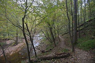
Muddy Branch Stream near Esworthy Rd
|
|
| Country | United States |
| State | Maryland |
| Counties | Montgomery |
| Physical characteristics | |
| Main source | Gaithersburg, MD |
| River mouth | Potomac River North of Pennyfield Lock, Potomac, MD 39°03′16″N 77°17′37″W / 39.05444°N 77.29361°W |
| Length | 11.9 miles (19.2 km) |
Muddy Branch is a small stream (or river) in Montgomery County, Maryland, United States. It is a tributary, which means it flows into a larger river. Muddy Branch joins the famous Potomac River. It is located about 14 miles (22.5 km) northwest of Washington, D.C..
Contents
Where Does Muddy Branch Flow?
Muddy Branch starts in Gaithersburg, Maryland. This is where its headwaters (the very beginning of the stream) are found.
From Gaithersburg, the stream flows southwest for about 11.9 miles (19.2 km). Along its path, it goes through two cool places: Muddy Branch Park and Blockhouse Point Conservation Park.
Finally, Muddy Branch flows under the Chesapeake and Ohio Canal near Pennyfield Lock. After that, it empties into the Potomac River.
What Are Its Tributaries?
A tributary is a smaller stream or river that flows into a larger one. Muddy Branch has several smaller streams that join it along its journey. These are like its helper streams.
Here are some of the tributaries that flow into Muddy Branch:
- Decoverly Tributary
- Dufief Tributary
- Lakes Tributary
- Pennyfield Lock Tributary
- Potomac Grove Tributary
- Query Mill Tributary
- Quince Orchard Knolls Tributary
- Rich Branch
- Route 28 Tributary
Fun Things to Do at Muddy Branch
Muddy Branch is a great place for outdoor activities! Parts of the stream flow through Blockhouse Point Conservation Park and the Muddy Branch Stream Valley Park. These parks offer lots of nature to explore.
One popular activity is hiking or biking on the Muddy Branch Greenway Trail. This trail is about 9 miles (14.5 km) long. It's a natural dirt path that follows Muddy Branch from the Potomac River all the way to Darnestown Road.
If you like boating, there's a special boat ramp on Muddy Branch. It's located just before the stream goes under the C&O Canal. This ramp is perfect for launching small boats like canoes and kayaks. From here, you can paddle out onto the Potomac River!
Images for kids
- Different parts of Muddy Branch
-

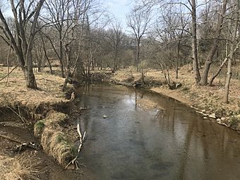
Muddy Branch, crossing under the Chesapeake and Ohio Canal, just before emptying into the Potomac River
-
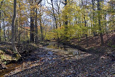
Muddy Branch Stream and the Muddy Branch Greenway Trail
-
Muddy Branch near Quince Orchard Road in North Potomac, Maryland
-
Muddy Branch Stream behind Morris Park, Gaithersburg, Maryland


