National Register of Historic Places listings in Bolivar County, Mississippi facts for kids
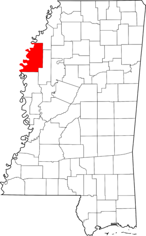
Welcome to Bolivar County, Mississippi! This page is all about the amazing historic places here that are listed on the National Register of Historic Places. Think of it like a special list of important buildings, sites, and areas that tell us stories about the past.
These places are super important because they help us remember history and understand how people lived long ago. In Bolivar County, there are 16 different properties and areas on this list, and one of them is even more special – it's a National Historic Landmark!
Contents
Exploring Bolivar County's Historic Treasures
What is the National Register?
The National Register of Historic Places is the official list of the United States' historic places worth saving. It's like a hall of fame for buildings, structures, objects, sites, and districts that are important to American history, architecture, archaeology, engineering, or culture. When a place is on this list, it means it's recognized as a valuable part of our shared heritage.
Special Places in Bolivar County
Bolivar County is full of interesting spots that have made it onto this important list. Let's take a look at some of them:
Historic Buildings and Areas
- Adath Israel Temple in Cleveland: This beautiful temple, built in 1906, is a special place of worship with a long history in the community. It was added to the list in 2002.
- Alligator Mounds near Alligator: These ancient mounds are a mystery from the past, showing us where people lived long, long ago. They were recognized in 1974.
- Cleveland Founders Historic District in Cleveland: This area includes many of the first buildings and streets where Cleveland began. It helps us see what the town looked like when it was first settled. It joined the list in 2007.
- Donelson House near Duncan: This historic house, located a few miles southwest of Duncan, has been around since 1976.
- Downtown Cleveland Historic District in Cleveland: This district covers the main part of downtown Cleveland, with many old buildings that show how the town grew over time. It was added in 1999.
- Grace Episcopal Church in Rosedale: This church, built in 1900, is a lovely example of historic architecture in Rosedale. It became a listed site in 1980.
- Hollywood near Benoit: This historic home, south of Benoit, has been a part of the landscape since 1975.
- Mound Bayou Bank in Mound Bayou: This bank building on West Main Street is an important part of Mound Bayou's history. It was added to the list in 1996.
- Mound Bayou Historic District in Mound Bayou: This large area in Mound Bayou includes many places that tell the story of this unique town, which was founded by former enslaved people. It joined the list in 2013.
- Rosedale Historic District in Rosedale: This district in Rosedale includes many historic buildings along Main, Front, and Levee Streets. It helps preserve the town's character and was listed in 2000.
- Shaw Consolidated School in Shaw: This school building has been a center for learning in Shaw for many years. It was added to the list in 2017.
- Walter Sillers Sr. House in Rosedale: This house on Levee Street is another important historic home in Rosedale, recognized in 1997.
- Taborian Hospital in Mound Bayou: Located near U.S. Route 61, this hospital played a big role in the history of Mound Bayou. It was listed in 1996.
- U.S. Post Office in Cleveland: This building, now a police station, served as Cleveland's post office for many years. It was added to the list in 1981.
Famous Landmarks
- I. T. Montgomery House in Mound Bayou: This house on West Main Street is a very special place. It's not just on the National Register; it's also a National Historic Landmark! This means it's considered one of the most important historic places in the entire country. It was the home of Isaiah T. Montgomery, who helped found the town of Mound Bayou. It became a landmark in 1976.
Images for kids


