National Register of Historic Places listings in Monroe County, Pennsylvania facts for kids
Imagine a special list of places that are super important to history! That's what the National Register of Historic Places is all about. It's like a hall of fame for buildings, areas, and sites that have a big story to tell about the past. When a place is on this list, it means it's recognized for its historical, architectural, or archaeological importance.
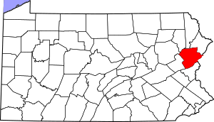
In Monroe County, Pennsylvania, there are 20 amazing places on this list. These spots help us learn about the people, events, and ways of life that shaped the county over many years. Some places that were once on the list have been removed, often because they were damaged or changed too much.
Historic Places in Monroe County
Academy Hill Historic District
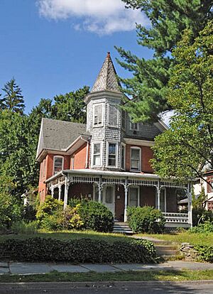
This historic area in Stroudsburg is like a time capsule! It includes many old buildings that show how the town grew and changed over the years. Walking through it is like taking a step back in time to see the architecture and style of the past. It was added to the list in 1990.
Christ Hamilton United Lutheran Church and Cemetery
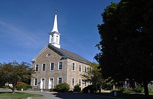
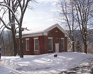
Located in Hamilton Township, this church and its cemetery have been around for a very long time. It's a significant spot for understanding the early religious and community life in the area. It joined the list in 1980.
Cold Spring Farm Springhouse
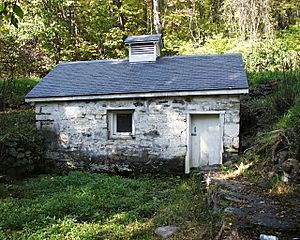
This unique springhouse is found northeast of East Stroudsburg in Middle Smithfield Township. Springhouses were important in the past for keeping food cool before refrigerators existed. This one was recognized in 1979.
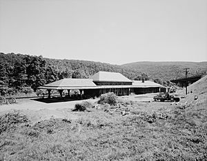
Delaware, Lackawanna and Western Railroad Water Gap Station
Train stations were once busy hubs of travel and trade. This station in Delaware Water Gap tells the story of how people and goods moved around in the past. It was added to the list in 2002.
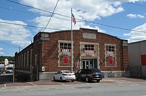
East Stroudsburg Armory
The Armory in East Stroudsburg is a building that was used by the military or National Guard. These buildings often have unique architecture and play a role in local history. It became a historic place in 1991.
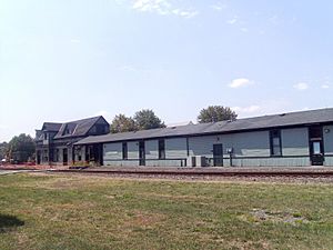
East Stroudsburg Railroad Station
Another important train station, this one is also in East Stroudsburg. It was listed in 1980. Sadly, part of it was damaged in a fire in 2009, but it remains a significant historical landmark.
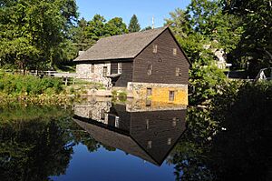
Fenner-Snyder Mill
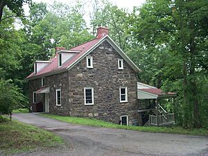
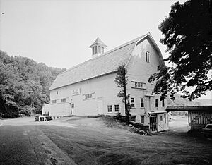
Mills like the Fenner-Snyder Mill, located north of Sciota in Hamilton Township, were vital for grinding grain and producing goods in early communities. This mill helps us understand how people lived and worked long ago. It was listed in 1976.
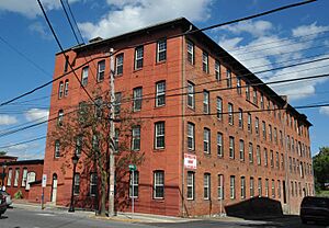
Kitson Woolen Mill
This old woolen mill in Stroudsburg shows us a piece of the county's industrial past. Mills like this were important for making fabrics and clothes. It was added to the list in 1984.
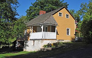
John Michael Farm
The John Michael Farm, east of Stroudsburg in Middle Smithfield Township, represents the agricultural history of Monroe County. Farms were the backbone of early settlements, providing food and resources. This farm was listed in 1980.
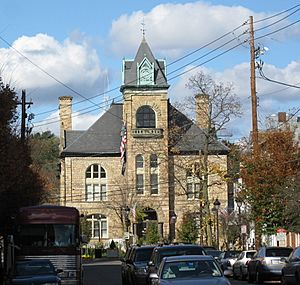
Monroe County Courthouse
The Monroe County Courthouse in Stroudsburg is where important legal and government decisions have been made for many years. Courthouses are often grand buildings that stand as symbols of justice and community. It was recognized in 1979.
Pocono Manor Historic District
This large historic area covers parts of Pocono and Tobyhanna Townships. It's known for its beautiful natural setting and historic buildings, likely related to the Pocono Mountains' history as a resort destination. It joined the list in 1997.
Quiet Valley Farm
Located southwest of Stroudsburg in Hamilton Township, Quiet Valley Farm is a living history museum. It shows what farm life was like in the 1800s, with old buildings and traditional farming methods. It was listed in 1973.
Ross Common Manor
South of Saylorsburg in Ross Township, Ross Common Manor is a beautiful historic estate. Manors like this often have interesting stories about the families who lived there and the architectural styles of their time. It was added to the list in 1978.
Schoonover Mountain House
This house, south of Bushkill in Middle Smithfield Township, is a great example of historic homes in the region. It was listed in 1979.
Shawnee-Minisink Site
This important archaeological site is located where Brodhead Creek meets the Delaware River in Smithfield Township. It holds clues about the very first people who lived in this area thousands of years ago. It was recognized in 2007.
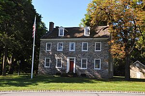
Capt. Jacob Shoemaker House
This historic house, south of Bushkill in Middle Smithfield Township, belonged to Captain Jacob Shoemaker. Old homes like this give us a glimpse into the lives of important figures from the past. It was listed in 1979.
Stroud Mansion
The Stroud Mansion, located in Stroudsburg, is a grand old home that tells the story of the town's early days. It was added to the list in 1979.
John Turn Farm
Northeast of Stroudsburg in Middle Smithfield Township, the John Turn Farm is another example of Monroe County's rich farming heritage. It was recognized in 1979.
Zion Lutheran Church
This church, east of East Stroudsburg in Middle Smithfield Township, has been a place of worship and community gathering for many years. It was listed in 1972.
Former Listings
Sometimes, a historic place might be removed from the National Register. This can happen if the building is destroyed, or if it changes so much that it no longer looks like it did historically. Here are a few places that were once on the list in Monroe County:
- Henryville House: This house in Henryville was listed in 1987 but removed in 2006.
- Swiftwater Inn: Located in Pocono Township, this inn was listed in 1976 but removed in 2010 because it was demolished in 2007.
- Worthington Hall: This hall in Smithfield Township was listed in 1978 but removed in 1986. A new building that looks like the original was built in its place.
Images for kids


