National Register of Historic Places listings in Plaquemines Parish, Louisiana facts for kids
Have you ever heard of the National Register of Historic Places? It's a special list in the United States that keeps track of important buildings, sites, and objects that have a lot of history. These places are special because they tell us about the past. They might be old forts, beautiful homes, or other spots where important events happened.
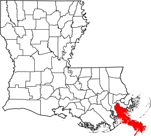
This page is all about the historic places in Plaquemines Parish, a cool area in Louisiana. There are 16 different places in this parish that are on the National Register. Let's explore some of them!
Contents
Historic Forts in Plaquemines Parish
Plaquemines Parish is home to some very old and important forts. These forts were built to protect the Mississippi River, which was a super important waterway for trade and travel.
Fort De La Boulaye Site
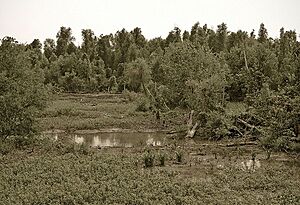
Imagine a time when France was trying to control the land around the Mississippi River. That's when Fort De La Boulaye was built, way back in 1699 and 1700! It was the very first European settlement in what is now Louisiana.
This fort was super important because it stopped Britain from taking over the Mississippi Valley. It's located on the eastern side of the Mississippi River, near Phoenix. Even though it's an old site, it reminds us of the early days of Louisiana.
Fort Jackson
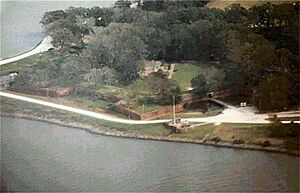
Fort Jackson is another amazing fort in Plaquemines Parish. It was built between 1822 and 1832. This fort played a huge role in the American Civil War. In April 1862, it was the site of a major battle called the Battle of Forts Jackson and St. Philip. This battle was key to controlling New Orleans.
Today, Fort Jackson is a park run by the state. It's located about 2.5 miles southeast of Triumph on the western bank of the Mississippi River. Sometimes, big storms like hurricanes can cause flooding at the fort, as happened in 2005 after Hurricanes Katrina and Rita.
Fort St. Philip
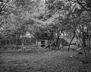
Right across the river from Fort Jackson is Fort St. Philip. This fort is even older, first built in the 1700s during the colonial period. It also saw action in two big wars.
First, during the War of 1812, American forces successfully defended it against the British Navy in 1815. Later, in the Civil War, it was part of the same battle as Fort Jackson, where Union forces won against the Confederates.
Sadly, Fort St. Philip is now privately owned and has been damaged by river flooding and tropical storms over the years. It's a reminder of how nature can impact historic sites.
Historic Homes and Buildings
Plaquemines Parish also has several beautiful and historic homes listed on the National Register. These houses give us a peek into how people lived in the past.
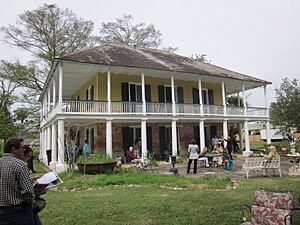
Harlem Plantation House
The Harlem Plantation House is a historic home located west of Pointe à la Hache. It's a significant part of the parish's history.
George Lincoln House
The George Lincoln House is another important historic home. It's located in Nairn.
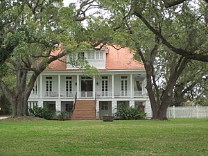
Mary Plantation House
The Mary Plantation House is a very old home, dating back to the time when Louisiana was under Spanish rule. It's located near Braithwaite.
Promised Land
The mansion known as "Promised Land" is located in Braithwaite. It was once the home of a very important local leader in Plaquemines Parish, Leander Perez.
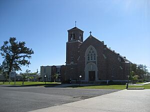
St. Patrick's Catholic Church
St. Patrick's Catholic Church is a beautiful and historic church located in West Pointe à la Hache. It has been an important part of the community for many years.
Woodland Plantation
The Woodland Plantation is another notable historic home in West Pointe à la Hache. It adds to the rich history of the area.
Images for kids
 | Jackie Robinson |
 | Jack Johnson |
 | Althea Gibson |
 | Arthur Ashe |
 | Muhammad Ali |


