Opotoru River facts for kids
Quick facts for kids Opotoru River |
|
|---|---|

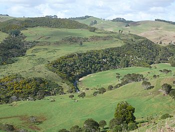
Opotoru River in the lower part of its valley
|
|
| Lua error in Module:Location_map at line 420: attempt to index field 'wikibase' (a nil value). | |
| Country | New Zealand |
| Physical characteristics | |
| Main source | Karioi 756 m (2,480 ft) |
| River mouth | Raglan Harbour 0 m (0 ft) |
| Length | 14 km (9 mi) |
| Basin features | |
| Basin size | 36 km2 (14 sq mi) |
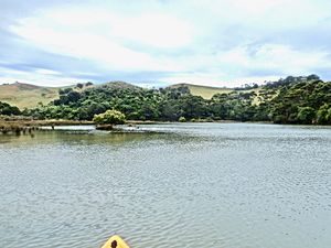
The Opotoru River is a cool river in the Waikato Region of New Zealand's North Island. It flows north until it reaches the Raglan Harbour, which is southwest of the town of Raglan.
People are working to keep the river clean! About 38 kilometres (24 mi) (31.2%) of the river's edges have fences. These fences help protect the river from farm animals.
 |
Raglan |  |
||
| Karioi | ||||
| Te Mata |
Contents
River Name and History
The name of the Opotoru River has changed a bit over time. Old maps from 1947 show 'Opotoru R' for the part of the river that flows into the harbour. They also show 'Opotoru S' for the part that goes through Te Mata.
Later maps from 1971 and today show 'Opotoru River' for the lower part of the waterway. But the upper part, past where the Te Hutewai Stream joins, is called 'Te Mata Stream'. This 'Te Mata Stream' was once known as 'Takapaunui Stream' in old postcards from 1910 and in a guide from 1915.
River's Geology
The land around the Opotoru River has interesting geology. Scientists believe that faults (cracks in the Earth's crust) running north-south affect the river's path. These faults also shape the coastline of the Tasman Sea.
Near the Opotoru River estuary, you can find older rocks from the Te Kuiti Group. These rocks are covered by newer layers of rock like conglomerate, sandstone, and siltstone. You can also find Chert (a type of hard rock) near a small stream that flows into the Opotoru River at Te Mata.
Early History of the Land
In 1854, an important person named Donald McLean bought a small piece of land at Te Mata. This land was in the southwest part of the Whaingaroa Block. The old records describe the boundaries in a fun way. For example, one boundary was "the Government-cut line from the Opotoru Creek to the hole dug by C. W. Ligar Esquire." Another boundary was "the root of the totara tree as left by William Naylor on making a canoe of the said tree."
Later that year, more land was bought, making the total area about 630 acres. By 1858, a total of 2130 acres of forest land at Te Mata had been secured.
Natural Life Around the River
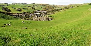
The land around the Opotoru River is a mix of different environments. About 36% of the area is farmland, and 50% is covered in forest. Most of this forest is native bush found on Mt Karioi. The rest are smaller patches of native trees and plants.
Surveys done in 2004 and 2012 looked at the plants growing near the river. At the river mouth and in the saltmarsh, they found many interesting plants. These included mangroves (called mānawa), manuka, mingimingi, and cabbage trees (or tī kōuka).
Other plants found were remuremu, sea rush, oioi, saltmarsh ribbonwood (mākaka), flax, sea primrose, leptinella dioica, and giant umbrella sedge (Toetoe upokotangata). You could also spot tall fescue, coastal daisy, and celery.
 | Sharif Bey |
 | Hale Woodruff |
 | Richmond Barthé |
 | Purvis Young |


