
Oxpens Road facts for kids

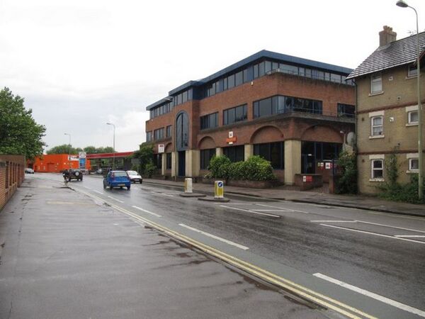
View northwest along Oxpens Road
|
|
| Length | 0.3 mi (0.5 km) |
|---|---|
| Postal code | OX1 1 |
| Coordinates | 51°44′59″N 1°15′58″W / 51.74972°N 1.26611°W |
| northwest end | Hollybush Row |
| southeast end | Thames Street |
Oxpens Road is a street in central Oxford, England. It connects the western and southern parts of the city. The road gets its name from an area called Oxpens. This was a wet, grassy area next to one of the branches of the River Thames in Oxford. Oxpens Road is also part of the A420 road.
What You'll Find on Oxpens Road
Oxpens Road helps connect many important places in Oxford. If you travel northwest along the road, it changes into Hollybush Row. This area is close to Frideswide Square, a busy meeting point for several streets. It's also near the Saïd Business School and the Oxford railway station. These are both to the west of the city centre.
If you go southeast, Oxpens Road becomes Thames Street. This part of the road is just north of the River Thames. It meets up with the end of St Aldates near Christ Church Meadow. This area is to the south of the city centre. Oxpens Road is part of a loop of roads that go around the southwest part of Oxford's city centre.
Halfway along Oxpens Road, you'll find the Oxford Ice Rink. This building was designed in 1984 by Nicholas Grimshaw. It is the home of the Oxford City Stars ice hockey team. On the north side of the road, there is also one of the campuses for the City of Oxford College. The road crosses the southern end of the Castle Mill Stream right before it reaches the River Thames.
Oxpens Road also leads to big car parks for the centre of Oxford. This includes parking for the Westgate Shopping Centre. The shopping centre was made much bigger and reopened in 2017. Some people have worried about the large, plain wall of the new shopping centre facing Oxpens Road. Groups like the Oxford Civic Society felt it didn't look very nice.
A Look Back at Oxpens Road's History
Before the year 1850, Oxpens Road was known by a different name: Nun's Walk. Long ago, the area next to the river was home to a gasworks. This was a factory that made gas for lighting and heating.
The area around Oxpens used to be one of the poorer parts of central Oxford. In the 1950s and 1960s, a big project cleared out many old buildings in the area, which was known as The Oxpens. Many people who lived there moved to Blackbird Leys. This was a new housing area on the edge of southeast Oxford. It was also close to the Morris Motors Limited factory in Cowley, where many people worked. Most of the Oxpens area was rebuilt during the second half of the 20th century.
Close to Oxpens Road, on St Thomas Street, was the Morrells Brewery. This brewery, also called The Lion Brewery, was near the Castle Mill Stream. It stopped making beer in 1998.
Gallery
-
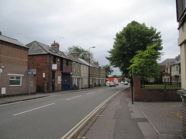
View southeast along Oxpens Road.
-
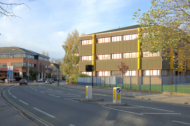
View northwest along Oxpens Road.
-
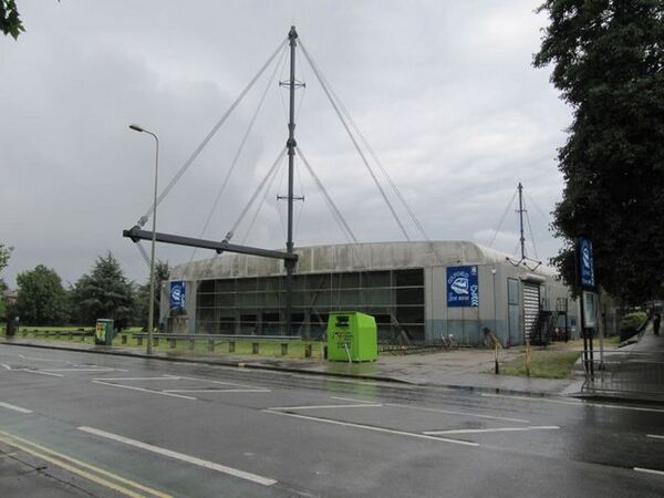
Oxford Ice Rink on Oxpens Road.
-
View down Hollybush Row towards Oxpens Road.
-
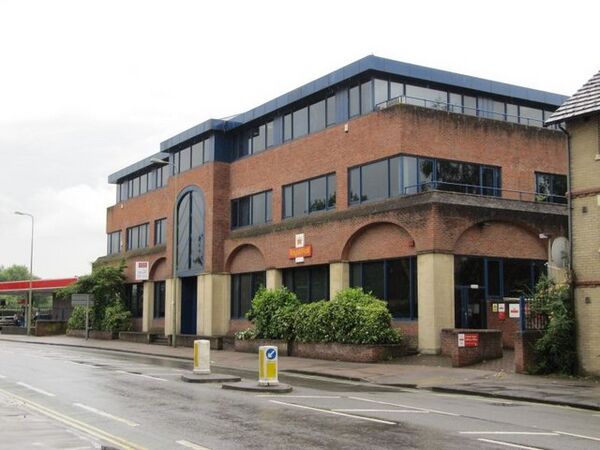
Post office building on Oxpens Road.

_-_geograph.org.uk_-_1571977.jpg)


