Pinkawillinie Conservation Park facts for kids
Quick facts for kids Pinkawillinie Conservation ParkSouth Australia |
|
|---|---|
|
IUCN Category VI (Managed Resource Protected Area)
|
|
| Nearest town or city | Kimba |
| Established | 1970 |
| Area | 1,301.51 km2 (502.5 sq mi) |
| Region | Eyre Peninsula |
| Managing authorities | Department for Environment and Water |
| See also | Protected areas of South Australia |
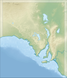
The Pinkawillinie Conservation Park is a special natural area in South Australia. It is about 60 kilometers (37 miles) north of a town called Kimba. This park is located on the inland side of the Eyre Peninsula.
Contents
What is Pinkawillinie Conservation Park?
This large park covers about 130,000 hectares (321,237 acres) of land. It is next to the Gawler Ranges National Park on its northwest side. The park is a place where nature is protected and preserved.
Getting Around the Park
It can be a bit tricky to visit Pinkawillinie Conservation Park. There is only limited access for regular two-wheel-drive cars. Also, there are no special visitor facilities inside the park. This means you won't find things like toilets or picnic areas.
Protecting Nature
Pinkawillinie Conservation Park is recognized as a special type of protected area. It falls under Category VI by the IUCN. This means it's a protected area where people can use natural resources in a careful and sustainable way. The main goal is to protect the environment while allowing some activities that don't harm it.
Park History
The park was officially established in 1970. In 1980, it was listed on the Register of the National Estate. This was a list of important natural and cultural places in Australia. The Register of the National Estate no longer exists today.
 | Jewel Prestage |
 | Ella Baker |
 | Fannie Lou Hamer |


