Pollard, Kansas facts for kids
Quick facts for kids
Pollard, Kansas
|
|
|---|---|

|
|
| Country | United States |
| State | Kansas |
| County | Rice |
| Township | Victoria |
| Elevation | 1,736 ft (529 m) |
| Time zone | UTC-6 (CST) |
| • Summer (DST) | UTC-5 (CDT) |
| Area code | 620 |
| FIPS code | 20-56975 |
| GNIS ID | 484741 |
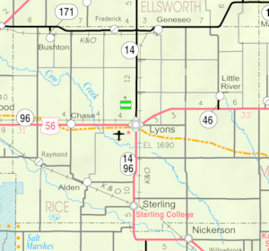
Pollard is a small, unincorporated community in Rice County, Kansas, United States. An "unincorporated community" means it's a place where people live, but it doesn't have its own local government like a city or town. Pollard is located in Victoria Township, just west of Highway K-14. It's about 6 miles (10 km) southwest of Geneseo and 7 miles (11 km) north of Lyons.
Contents
History of Pollard and Kansas
The land that is now Kansas has been home to Native American tribes for thousands of years. In 1803, the United States gained most of this area through the Louisiana Purchase. This was a huge land deal with France.
Kansas Becomes a State
Later, in 1854, the Kansas Territory was officially set up. This was a step towards becoming a state. Finally, in 1861, Kansas became the 34th U.S. state. This was an important moment for the region.
Founding of Rice County
Rice County, where Pollard is located, was established in 1867. This helped organize the area for settlers. Pollard itself had a post office for many years, from 1888 until 1923. This shows it was once a more active center for local residents.
Education in Pollard
Kids living in the Pollard area attend public schools. The community is part of the Lyons USD 405 school district. This district provides education for students from kindergarten through high school.
 | Roy Wilkins |
 | John Lewis |
 | Linda Carol Brown |


