
Port Botany, New South Wales facts for kids
Quick facts for kids Port BotanySydney, New South Wales |
|||||||||||||||
|---|---|---|---|---|---|---|---|---|---|---|---|---|---|---|---|

View of Port Botany from La Perouse
|
|||||||||||||||
| Postcode(s) | 2036 | ||||||||||||||
| Elevation | 2 m (7 ft) | ||||||||||||||
| Area | 2,345 km2 (905.4 sq mi) | ||||||||||||||
| Location | 12 km (7 mi) south of Sydney CBD | ||||||||||||||
| LGA(s) | City of Randwick | ||||||||||||||
| State electorate(s) | Maroubra | ||||||||||||||
| Federal Division(s) | Kingsford Smith | ||||||||||||||
|
|||||||||||||||
Port Botany is a suburb located in the Eastern Suburbs of Sydney, New South Wales, Australia. It is about 12 kilometres south of the main city center, known as the Sydney central business district. This area is part of the City of Randwick local government area.
Port Botany sits right on the northern shore of Botany Bay. It is next to other suburbs like Matraville, Banksmeadow, and Phillip Bay.
Contents
The Story of Port Botany
Botany Bay is a very important place in Australian history. It is where Lieutenant James Cook first landed on 29 April 1770. He was exploring the east coast of Australia on his ship, the Endeavour.
On board with Cook were two important scientists. One was the English naturalist Joseph Banks. The other was the Swedish botanist Daniel Solander. They spent several days on shore. During this time, they collected many plants and animals that no one in Europe had ever seen before.
Cook first called the bay "Sting Rays' Harbour" in his notes. Later, he changed it to "Botanist Bay." Finally, he decided on the name "Botany Bay." The suburb of Port Botany gets its name from this historic bay.
Cool Places to See
There are a few interesting spots in Port Botany.
Molineaux Point Views

At Molineaux Point, you can enjoy great views across the water. You can see La Perouse and Kurnell from here. There is also a special stone monument and a plaque at this point. They celebrate the friendship between Sydney Ports Corporation and Yokkaichi Port Authority in Mie, Japan. These two ports are considered "sister ports."
Banks Wall
The strong wall along the water's edge is called Banks Wall. It was named after Sir Joseph Banks. He was the naturalist who collected so many plant specimens here long ago.
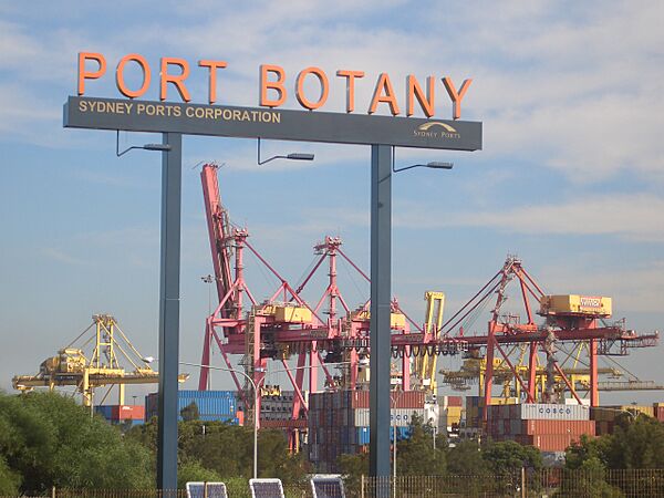
Port Botany's Busy Hub
Port Botany is a very important commercial area. It is a major seaport for Sydney. Goods come in and out of Australia through this port.
How Goods Move
The port is well-connected to other parts of Sydney and beyond. It has good road and rail networks. This means trucks and trains can easily move goods to and from the port. Sydney's international and domestic airports are also nearby.
Container Terminals

The port has two large container terminal facilities. These are places where huge shipping containers are loaded and unloaded from ships. These containers carry all sorts of goods from around the world.
There is also a special area for bulk liquids. This is where large amounts of liquids, like fuels or chemicals, are stored and moved.
-
Sydney Ports Corporation
-
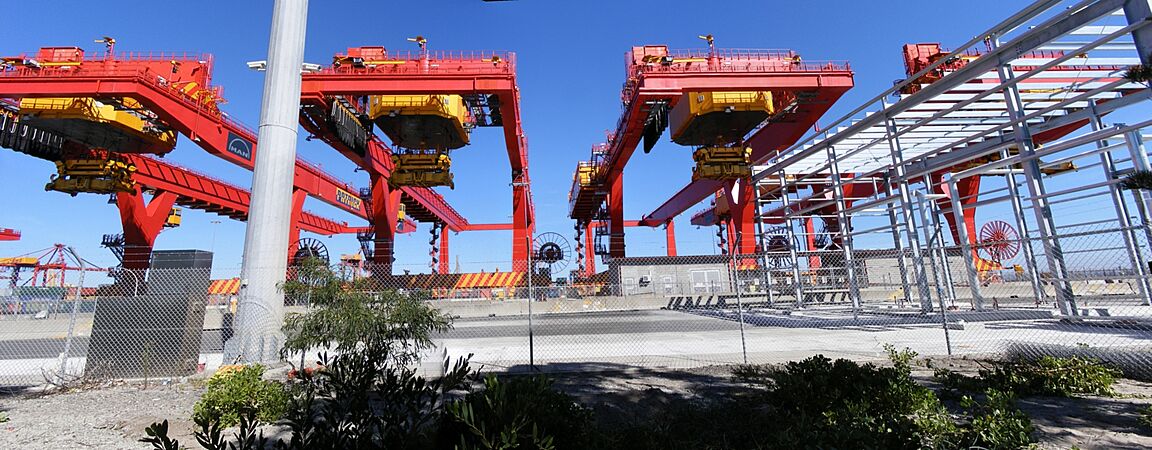
Shipping container cranes
-
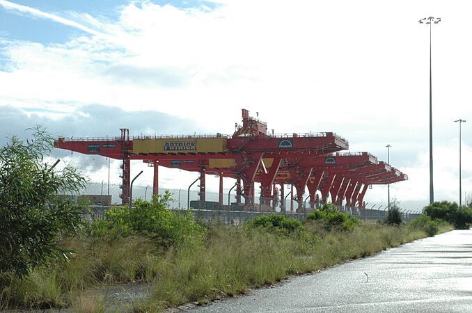
Patrick Corporation container cranes
-
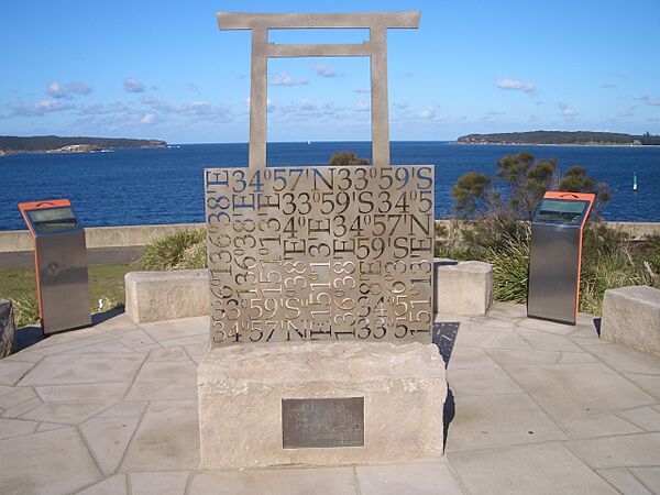
Molineaux Point


