Promised Land, Tasmania facts for kids
Quick facts for kids Promised LandTasmania |
|||||||||||||||
|---|---|---|---|---|---|---|---|---|---|---|---|---|---|---|---|

Lower crackpot, 7308 at Promised Land, Tasmania
|
|||||||||||||||
| Population | 44 (2016 census) | ||||||||||||||
| Established | 1859 | ||||||||||||||
| Elevation | 280 m (919 ft) | ||||||||||||||
| Location |
|
||||||||||||||
| LGA(s) | Kentish Council | ||||||||||||||
| Region | North-west and west | ||||||||||||||
| State electorate(s) | Lyons | ||||||||||||||
| Federal Division(s) | Lyons | ||||||||||||||
|
|||||||||||||||
|
|||||||||||||||
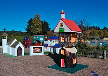
Promised Land is a small, quiet place in the countryside of Tasmania, Australia. It's part of the Kentish area, which is like a local government region. This little spot is about 13 kilometers (around 8 miles) southwest of a town called Sheffield. In 2016, only 44 people lived in Promised Land, making it a very peaceful community!
A Look Back in Time
Promised Land officially became known as a "locality" in 1957. This means it was formally recognized as a specific place on maps and for government records. It has been a part of Tasmania's history for many years.
The Land and Its Features
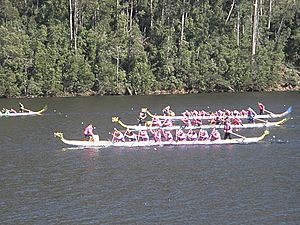
Promised Land is a beautiful rural area. The western edge of this locality is bordered by the waters of Lake Barrington. This large lake is famous for water sports and is a popular spot for rowing and other activities.
Getting Around
The main road that helps people travel through Promised Land is called Staverton Road (also known as Route C140). This road runs from the northeast part of the area all the way to the south. It connects Promised Land to nearby places.
 | Charles R. Drew |
 | Benjamin Banneker |
 | Jane C. Wright |
 | Roger Arliner Young |


