R759 road (Ireland) facts for kids
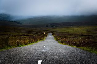
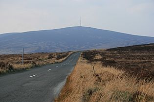
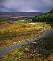
The R759 road is a special road in Ireland. It's called a regional road. This road travels through the beautiful Wicklow Mountains. It goes from the R755 road near Roundwood in East Wicklow to the N81 road in West Wicklow.
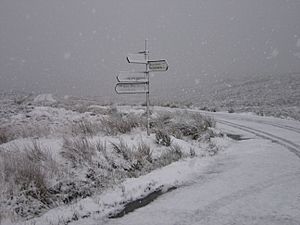
The R759 is famous for passing through a spot called the Sally Gap. This is a very high point on the road, reaching 503 meters (about 1,650 feet) above sea level. At the Sally Gap, the R759 crosses another important road, the R115, which is also known as the Military Road.
Exploring the Sally Gap
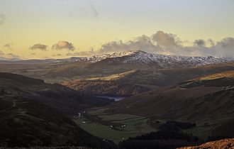
The journey along the R759 offers amazing views. You'll see stunning landscapes, including the deep, bowl-shaped lake called Lough Tay. This lake sits below Luggala mountain. The area around Lough Tay is part of the Guinness Estate.
The road also gives you access to several car parks. From these spots, you can explore the mountains around Djouce. The land around the Sally Gap is mostly moorland. This means it's open, wild land with lots of heather and grass.
Nature's Wonders Along the Way
The Sally Gap plateau is home to the Liffey Head Bog. This bog is on the slopes of Tonduff mountain. It's a very important place because it's where the River Liffey begins its journey. The River Liffey flows all the way to Dublin!
The R759 road is about 27 kilometers (17 miles) long. It's a fantastic route to explore the Wicklow Mountains. However, it's important to know that in winter, the road can be dangerous. It might even become impassable because local authorities don't treat it for ice or snow.
Images for kids
 | Jewel Prestage |
 | Ella Baker |
 | Fannie Lou Hamer |


