Saints' Way facts for kids
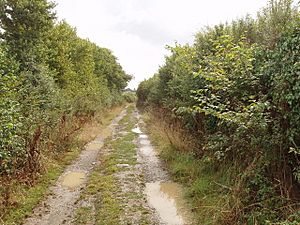
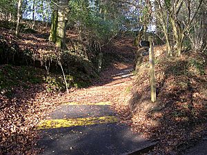
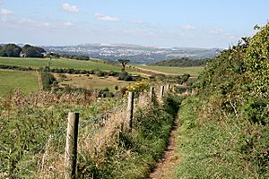
The Saints' Way (which is Forth an Syns in the Cornish language) is a very old path and a long walking route in the middle of Cornwall, England. It connects the north coast to the south coast.
Contents
What is the Saints' Way?
The Saints' Way is a special walking path that stretches across Cornwall. It starts at the church in Padstow in the north and goes all the way to the church in Fowey in the south. This journey is about 28.5 miles (45.6 km) long. If you take a slightly different route through Lanlivery, it's about 29 miles (46.6 km).
Following the Path
The path is easy to follow because it has good signs. You can also find guide books to help you along the way. The Saints' Way actually has two main parts, like two different routes that join up.
One part of the path starts in Fowey. It goes west towards Tywardreath, then heads north through places like St Blazey and Luxulyan. The other part also starts in Fowey but goes north through Golant and Lanlivery. Both of these routes meet near a place called Helman Tor.
Why Was the Path Used?
This path was mainly used for religious journeys, also known as pilgrimages. Long ago, early Christian travellers from Ireland would land on the north coast of Cornwall. Instead of sailing all the way around the very dangerous Land's End, they would walk across Cornwall to ports like Fowey on the south coast. From there, they could continue their sea journey to other parts of Europe.
History of the Saints' Way
The Saints' Way follows a route that people have used for a very long time. It's thought that this path was an important way to travel and trade even before the Christian travellers used it.
Roman Trading Post
Around 55 to 50 AD, the Romans built a trading center at a place called Nanstallon, which is close to Bodmin. Experts believe this center was built to serve a major trade route. This route connected the north Cornish coast, near the River Camel, with the south coast, near the River Fowey. This was known as the 'transpeninsular route' because it went across the peninsula.
However, the Roman trading center was only used for about 20 to 25 years before it was left empty. It was never used again after that. This trading route was likely important for the Celtic people living in Ireland, Wales, Cornwall, and Brittany. Nanstallon was a good spot because it was near areas rich in minerals.
Rediscovering the Path
For a long time, parts of this ancient path were forgotten. Then, in 1984, two people from the village of Luxulyan made an exciting discovery. They found a section of an old, unused path. It was covered with cobblestones and had granite stiles, which are steps over a fence or wall.
This discovery led to the creation of the modern Saints' Way. It was developed as part of a community project and officially opened in 1986. Now, people can walk this historic route and imagine the journeys of those who came before them.
 | Roy Wilkins |
 | John Lewis |
 | Linda Carol Brown |


