San Miguel de Salinas facts for kids
Quick facts for kids
San Miguel de Salinas
|
||
|---|---|---|
|
||
| Country | ||
| Autonomous community | ||
| Province | Alicante | |
| Comarca | Vega Baja del Segura | |
| Judicial district | Torrevieja | |
| Area | ||
| • Total | 54.90 km2 (21.20 sq mi) | |
| Elevation | 75 m (246 ft) | |
| Population
(2018)
|
||
| • Total | 5,811 | |
| • Density | 105.847/km2 (274.14/sq mi) | |
| Demonym(s) | Sanmiguelero -a | |
| Time zone | UTC+1 (CET) | |
| • Summer (DST) | UTC+2 (CEST) | |
| Postal code |
03193
|
|
| Official language(s) | Spanish | |
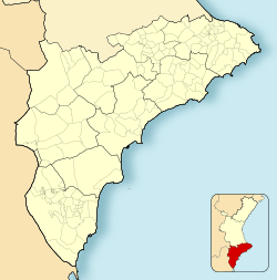
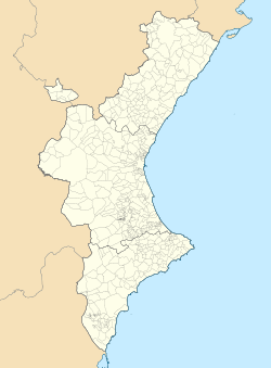
San Miguel de Salinas is a lovely town in the Valencian Community of Spain. It is located in the southern part of the Province of Alicante. This town is part of a region called Vega Baja del Segura. In 2006, about 7,104 people lived there.
Where is San Miguel de Salinas?
San Miguel de Salinas is located between the cities of Torrevieja and Murcia. It is the highest town in its region. The town covers an area of 54 square kilometers. Its land slopes down from the mountains. Many small streams and valleys lead to a flat area. This flat area is known as El Llano. Here, you can find large salt lakes.
How to Get There
Local roads connect San Miguel de Salinas to nearby towns. These include Orihuela, Bigastro, and Torrevieja. If you are coming from Alicante or Cartagena, you can use the A-7 (E15) and AP-7 highways. Then, you would take the CV-940 and CV-941 roads to reach the town.
A Look at History
People believe that the area was first settled during Roman times. This early settlement was known as Nisdomia. For a long time, San Miguel de Salinas was connected to the Orihuela district. However, in 1836, the town's main area became separate. Later, in 1955, the town's borders were expanded. They now form a shape like a triangle. This triangle includes the Pedrera Reservoir, the Torrevieja lagoon, and La Peña del Águila.
See also
 In Spanish: San Miguel de Salinas para niños


