Sand Hills (Nevada) facts for kids
Quick facts for kids Sand Hills |
|
|---|---|
| Highest point | |
| Elevation | 1,855 m (6,086 ft) |
| Geography | |
| Country | United States |
| State | Nevada |
| District | Washoe County |
| Range coordinates | 39°51′4.666″N 119°53′36.707″W / 39.85129611°N 119.89352972°W |
| Topo map | USGS Granite Peak |
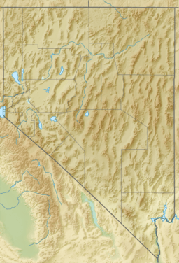
The Sand Hills are a mountain range located in Washoe County, Nevada. A mountain range is a group of mountains connected together. The highest point in the Sand Hills is a peak called Granite Peak.
What Are the Sand Hills?
The Sand Hills are a natural area with hills and mountains. They are part of the larger landscape of Nevada, a state known for its many mountain ranges and desert areas. These hills are an important part of the local environment.
Where Are the Sand Hills Located?
The Sand Hills are found in the western part of Nevada. They are in Washoe County. This area is surrounded by other interesting places.
- To the west, you'll find Petersen Mountain and the Porcupine Mountains. There is also a flat area called Lees Flat.
- To the south, the Sand Hills are next to Freds Mountain.
- To the east, they are bordered by an area known as Bedell Flat.
How High Are the Sand Hills?
The highest point in the Sand Hills is Granite Peak. This peak reaches an elevation of about 1,855 meters (or 6,086 feet) above sea level. This makes it a notable feature in the landscape of Washoe County.
 | Emma Amos |
 | Edward Mitchell Bannister |
 | Larry D. Alexander |
 | Ernie Barnes |


