Sangihe Islands facts for kids


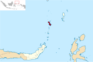
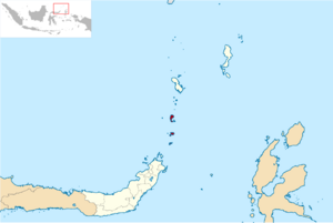
The Sangihe Islands (also called "Sangir" or "Sanghi") are a group of islands in northern Indonesia. They are part of the North Sulawesi province. These islands are divided into two main areas: the Sangihe Islands Regency and the Sitaro Islands Regency.
The islands are located northeast of Sulawesi. They sit between the Celebes Sea and the Molucca Sea. They are also about halfway between Sulawesi and Mindanao in the Philippines. The Sangihe Islands mark the eastern edge of the Celebes Sea. The islands cover about 813 square kilometers in total. Many of them are active volcanoes, which means they have very rich soil and mountains.
Contents
Main Islands and Important Places
The main islands in this group are, from north to south:
- Sangir Besar (also called Sangir Island)
- Siau
- Tagulandang
- Biaro
Sangir Besar is the largest island. It has an active volcano called Mount Awu, which is 1,320 meters (about 4,331 feet) tall. The main town and port is Tahuna. This town also has the only airport for the islands, Naha Airport.
A Brief History of the Islands
The Sangihe Islands came under the control of the Netherlands in 1677. They remained a Dutch territory for a long time. In 1945, Indonesia declared its independence from the Netherlands. At that time, the Sangihe Islands became a part of the new country of Indonesia.
Language of the Sangihe Islands
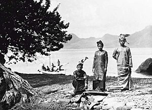
The people on these islands speak the Sangir language. This language is part of the Austronesian language family. You can also hear the Sangir language spoken on some islands in the Philippines. It is also spoken on the very northern tip of Sulawesi.
Understanding the Earth's Movement
The Sangihe tectonic plate is named after this group of islands. Tectonic plates are huge pieces of the Earth's crust that are always moving. The Sangihe plate is very active. This means there is a lot of movement and activity in the Earth's crust around these islands. This activity can lead to earthquakes and volcanic eruptions.
Population and Island Divisions
On January 2, 2007, the Sitaro Islands became a new separate area. This new area was formed from parts of the Sangihe Islands. The name "Sitaro" comes from the first letters of the three main islands in this new area: Siau, Tagulandang, and Biaro.
In 2010, the total population for these island groups was 189,676 people. This included 126,133 people in the Sangihe Islands Regency. The Sitaro Islands Regency had 63,543 people. By mid-2022, the estimated total population had grown to 212,682. The Sangihe Islands Regency had about 140,165 people, and the Sitaro Islands Regency had about 72,517 people.
Marore Island and Its Environment
Marore Island is one of the important points in the Sangihe Islands. It helps to mark the official baselines of Indonesia. These baselines are used to define Indonesia's sea borders.
About 15 years ago, a harmful practice called fish bombing caused a lot of damage. This illegal fishing method uses explosives. It severely harmed the coral and mangrove ecosystems around Marore Island. These ecosystems are very important for sea life. In 2012, people started to see the coral recovering. However, the mangrove forests had not yet recovered as much.
See also
 | Chris Smalls |
 | Fred Hampton |
 | Ralph Abernathy |


