Squaw Creek (Payette River tributary) facts for kids
Quick facts for kids Squaw Creek |
|
|---|---|
|
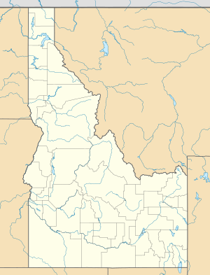
Location of the mouth of Squaw Creek in Idaho
|
|
| Country | United States |
| State | Idaho |
| Counties | Gem County, Idaho, Valley County, Idaho |
| Physical characteristics | |
| Main source | southwest of Cascade, Valley County, Idaho 7,483 ft (2,281 m) 44°26′10″N 116°09′09″W / 44.43611°N 116.15250°W |
| River mouth | Payette River Black Canyon Reservoir, Gem County, Idaho 2,507 ft (764 m) 43°56′16″N 116°22′01″W / 43.93778°N 116.36694°W |
| Length | 61 mi (98 km) |
Squaw Creek is a cool river in western Idaho, United States. It's about 61-mile (98 km) long, which is like driving a long distance! This river is a tributary, meaning it flows into a bigger river called the Payette River. Think of it as a smaller stream joining a larger one.
Journey of Squaw Creek
Squaw Creek starts high up in the mountains, at an elevation of about 7,483 feet (2,281 m). That's really high, like being on top of a tall building! Its journey begins southwest of a town called Cascade in Valley County, Idaho.
Flowing Through Idaho
From its mountain start, the creek quickly flows north. Then, it turns and heads west, making its way into Gem County, Idaho. As it continues, it generally flows south. Along its path, it passes by the small communities of Ola and Sweet.
Where the Creek Ends
Finally, Squaw Creek reaches its mouth, which is where it joins another body of water. It flows into the Black Canyon Reservoir. This reservoir is a large lake created by a dam. The elevation at its mouth is about 2,507 feet (764.1 m). So, the water travels a long way downhill from its source to its end!
 | William L. Dawson |
 | W. E. B. Du Bois |
 | Harry Belafonte |


