Starvation State Park facts for kids
Quick facts for kids Fred Hayes State Park at Starvation |
|
|---|---|
|
IUCN Category V (Protected Landscape/Seascape)
|
|

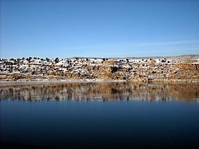
Starvation Reservoir
|
|
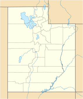
| Location | Duchesne, Utah, United States |
| Area | 3,500 acres (14 km2) |
| Elevation | 5,700 ft (1,700 m) |
| Established | 1972 |
| Visitors | 70044 (in 2011) |
| Operator | Utah State Parks |
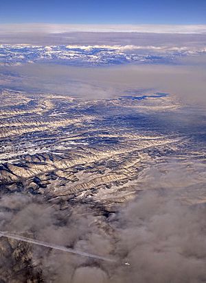
Fred Hayes State Park at Starvation is a cool state park in northeastern Utah, United States. It used to be called Starvation State Park. The park is home to the huge Starvation Reservoir, which covers about 3,495 acres. You can find this park about 4 miles northwest of a town called Duchesne, Utah.
Contents
Fun Things to Do at Starvation Park
The Starvation Reservoir is a big lake, about 3,500 acres in size. It's open all year long and is a super popular spot for fishing and boating. The lake is located at an elevation of about 5,712 feet.
The park's marina was built in 1972. It has lots of great features for visitors:
- A campground with 54 spots for RVs.
- Places for both regular and simple (primitive) camping.
- Cozy cabins you can rent.
- A ramp and dock for boats.
- A sandy beach where you can relax.
- Restrooms and showers.
- A pavilion for groups to use.
- Stations to clean fish.
If you like simple camping, you can camp in special areas around the edge of the reservoir for a small fee. If you have an Off-Highway Vehicle (OHV), you can only ride it at Knight Hollow Campground. There are also dirt roads owned by the county nearby that you can use, including one that goes from Knight Hollow to the town of Duchesne.
Why is it Called "Starvation"?
The name "Starvation" might sound a bit strange for a park, and there are a few stories about how it got its name.
The Most Believable Story
The most trusted story comes from Orson Mott. Back in 1900, a man named A.M. Murdock wanted to let his cattle graze in the Strawberry River area. He got permission from Major Myton of the Uintah Indian reservation. A.M.'s brother, Dave Murdock, had a job to provide beef to the Ute tribe.
In the fall of 1904, they brought their cattle down to the river bottoms, which is now covered by the Starvation Reservoir. But then, very heavy snows fell, trapping the whole herd. With no food, all the cattle died. Because of this sad event, Dave Murdock named the area "Starvation Flats."
Other Stories About the Name
There are other tales about the name "Starvation":
- One story says a group of fur trappers got stuck in a harsh winter. They survived by taking food from a local Native American food storage, which then caused the Native Americans to starve.
- Another story tells the opposite: the Native Americans took the food, and the trappers starved.
- A third story is about a local rancher whose livestock starved when he tried to graze them in the area.
- Yet another idea is that early settlers in the 1900s struggled to survive along the Strawberry River, where the reservoir is now. Winters were long and cold, and their animals often died. The short growing season was also tough because of floods, hail, and early frost. These settlers might have nicknamed the area "Starvation" because of their difficult experiences.
Starvation Dam
The Starvation Dam is a large earthfill dam. It stands about 210 feet high and stretches about 3,070 feet long. The reservoir behind the dam gets its water from the Strawberry River in the Uinta Basin. This dam is an important part of the Central Utah Project, which helps manage water resources in Utah. It was built in 1970.


