Stephens Passage facts for kids
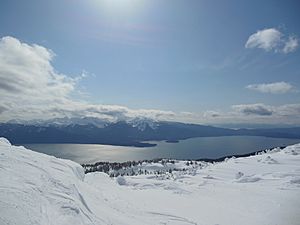
Stephens Passage is a long, narrow waterway, like a natural highway, located in the beautiful Alexander Archipelago in the southeastern part of Alaska. This amazing channel stretches for about 170 kilometers (105 miles). It acts as a watery path between Admiralty Island on its west side and the main part of Alaska along with Douglas Island on its east side. Near its northern end, you'll find Juneau, which is the capital city of Alaska, located on a smaller waterway called Gastineau Channel.
Discovering Stephens Passage
Stephens Passage has a cool history, especially how it got its name and how it was first explored. Learning about these early journeys helps us understand more about this important Alaskan waterway.
How Stephens Passage Got Its Name
The name "Stephens Passage" was given in 1794 by a famous explorer named George Vancouver. He was a British naval officer who explored many parts of the Pacific Ocean, including the coast of North America. It's thought that he named this passage after Sir Philip Stephens, who was a very important person in the British government at the time. He worked for the Admiralty, which was in charge of the navy.
Early Explorations and Mapping
The very first maps of Stephens Passage were made in the same year it was named, 1794. This important work was done by Joseph Whidbey. He was the master, or chief navigator, of a ship called HMS Discovery. This ship was part of George Vancouver's big expedition, which explored the coast from 1791 to 1795. To "chart" something means to make a detailed map of it, showing its shape, depth, and important features.
Later, in 1920, the passage was looked at even more closely by the US Coast & Geodetic Survey (USCGS). This group is responsible for mapping and understanding the coastlines and waterways of the United States. They used a ship called the USC&GS Explorer and two smaller boats to "survey" the area. To "survey" means to carefully measure and record details about a place, often for making very accurate maps.
 | Victor J. Glover |
 | Yvonne Cagle |
 | Jeanette Epps |
 | Bernard A. Harris Jr. |


