Stoutsburg, New Jersey facts for kids
Quick facts for kids
Stoutsburg, New Jersey
|
|
|---|---|

Center of Stoutsburg along CR 518
|
|
| Country | |
| State | |
| County | Mercer and Somerset |
| Township | Hopewell and Montgomery |
| Elevation | 157 ft (48 m) |
| GNIS feature ID | 880956 |
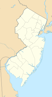
Stoutsburg is a small, quiet place in New Jersey. It's called an unincorporated community. This means it's a neighborhood or area that doesn't have its own separate local government. Instead, it's part of bigger areas called townships.
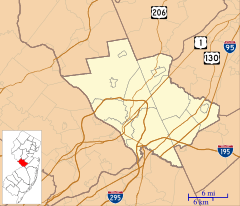
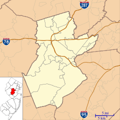
Stoutsburg is special because it sits right on the border of two different counties. Part of it is in Mercer County, within Hopewell Township. The other part is in Somerset County, in Montgomery Township.
Two important roads cross through Stoutsburg. County Route 518 goes from east to west. Province Line Road runs north and south. Province Line Road is interesting because it follows an old boundary line. This line, called the Keith line, used to separate two old parts of New Jersey: West Jersey and East Jersey.
A Glimpse into History
Stoutsburg played a small but important role in American history. It was during the American Revolutionary War, a time when the American colonies fought for their freedom from Great Britain.
On June 24, 1778, a very important meeting happened here. General George Washington, who led the American army, held a special meeting with his top officers. This meeting was called a council of war. They met at a place known as the Joseph Stout House.
This meeting was held to plan for a big battle. It was just before the Battle of Monmouth, which was a major fight in the war. The decisions made in Stoutsburg helped shape the strategy for that battle.


