Sycamore Tree (Santa Paula, California) facts for kids
Quick facts for kids Sycamore Tree |
|
|---|---|
| Location | Highway 126 at Hall Road, 4 Miles East of Santa Paula, California |
| Designated | February 22, 1960 |
| Reference no. | 756 |
The Sycamore Tree is a very old and important tree in Ventura County. For many years, people have used this special tree as a meeting spot. It stands near California State Route 126 on Hall Road, about four miles east of Santa Paula, California.
This tree is so important that it became California Historical Landmark number 756 on February 22, 1960. It has seen a lot of history!
Contents
A Tree Through Time
This amazing Sycamore Tree has served many different purposes over the years. It was a resting place for Padres traveling on the El Camino Real, which was an old road connecting missions.
More Than Just a Tree
Imagine a tree being a post office! This Sycamore Tree was sometimes used as a temporary post office. It also served as an outdoor chapel, a place for people to worship. And believe it or not, it was even a polling place, where people would go to vote!
A Key Moment in History
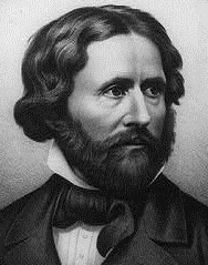
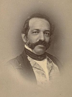
One of the most famous events connected to the Sycamore Tree happened in December 1846. A well-known American general named John C. Frémont passed by this very tree. He was on an important journey to meet with General Andrés Pico.
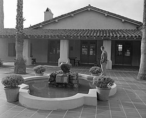
Their meeting was to sign a special agreement called the Treaty of Cahuenga. This treaty was very important because it helped make California part of the United States. The treaty was officially signed on January 13, 1847, at a place called Campo de Cahuenga in what is now Universal City, California.

Finding the Sycamore Tree
The Sycamore Tree is located just off Highway 126. You can find it in the middle of Hall Road, a few miles east of Santa Paula. Even though the original historical marker might be missing, there is a sign on Route 126 about 500 feet before you reach the tree. This sign helps visitors find this important landmark.


