
Table Top Mountain (Juneau, Alaska) facts for kids
Quick facts for kids Table Top Mountain |
|
|---|---|

East aspect seen from Juneau
|
|
| Highest point | |
| Elevation | 3,182 ft (970 m) |
| Prominence | 1,181 ft (360 m) |
| Parent peak | Mount Bradley (Mount Jumbo) |
| Geography | |

Table Top Mountain
Location in Alaska
|
|
| Location | Juneau, Alaska, United States |
| Parent range | Boundary Ranges |
| Topo map | USGS Juneau B-2 |
Table Top Mountain is a cool mountain located in Juneau, Alaska, in the United States. It's part of a bigger group of mountains called the Boundary Ranges. You can find it on Douglas Island, about 2 miles (3.2 km) northeast of Cropley Lake and 3.5 miles (5.6 km) west of the main city of Juneau.
Contents
About the Name
The name "Table Top Mountain" was officially given to this mountain in 1962 by the United States Geological Survey (USGS). The USGS is a science agency that studies the Earth. The mountain's name was then added to their official list of geographic names, called the Geographic Names Information System, on March 31, 1981.
Weather and Climate
Table Top Mountain has a type of weather called a subarctic climate. This means it has very cold winters with lots of snow, and summers that are mild, not too hot.
How Weather Systems Work
Weather systems that come from the Gulf of Alaska hit the tall Boundary Ranges mountains. When the air hits the mountains, it's forced to go upwards. This process is called orographic lift. As the air rises, it cools down, which causes a lot of rain and snow to fall on the mountains.
Temperatures and Best Time to Visit
In winter, temperatures on Table Top Mountain can drop below −20 °C (−4 °F). With the wind, it can feel even colder, sometimes below −30 °C (−22 °F)! The best time to see or climb Table Top Mountain is usually in July. The weather is much nicer then.
Gallery
-
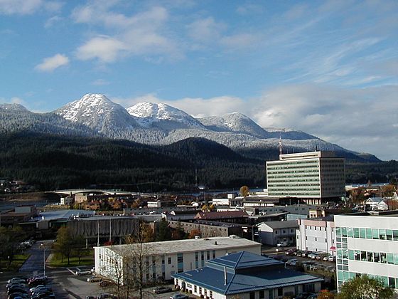
Table Top Mountain (on the left) as seen from Juneau
-
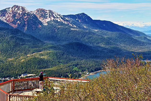
Table Top Mountain in the upper left corner


