Territorial evolution of Idaho facts for kids
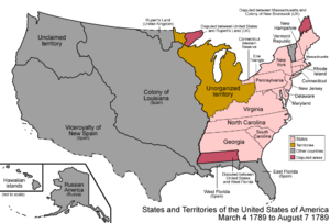
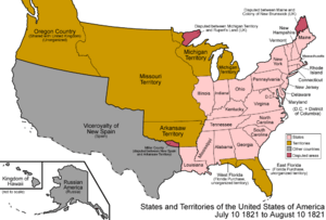
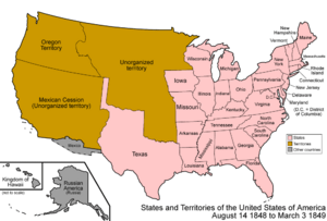
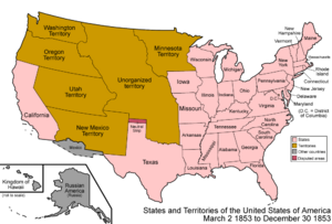
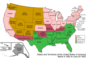
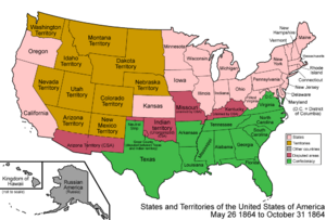
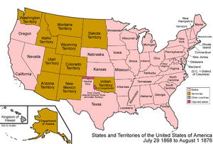
This article explores how the borders of the State of Idaho have changed over time. This process is called "territorial evolution." It shows how different countries and then the United States claimed and organized the land that is now Idaho.
Contents
How Idaho's Borders Changed Over Time
Idaho's shape today is the result of many agreements and decisions made over centuries. Before it became a state, its land was part of larger areas claimed by different nations.
Early Claims: Spain and Oregon Country
For a long time, the land that is now Idaho was claimed by several countries. One of the earliest claims was by Spain.
- Spain's Claim: From 1776 to 1821, Spain claimed a large area called Gran Cuenca. This area included parts of modern-day Idaho. Spain's claim ended with the Adams–Onís Treaty in 1819. This treaty gave Spain's claims in the Pacific Northwest to the United States.
After Spain's claim, the land became part of a region known as the Oregon Country.
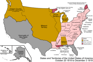
- Oregon Country: From 1818 to 1846, the Oregon Country was a large area in the Pacific Northwest. Both the United States and Great Britain claimed this land. They agreed to share it for a while.
- Treaty of 1818: This agreement, also called the Anglo-American Convention of 1818, set the border between the U.S. and British North America at the 49th parallel. However, it left the Oregon Country open for both countries.
- Provisional Government: From 1843 to 1849, settlers in the Oregon Country formed their own government. This was called the Provisional Government of Oregon. It was not officially recognized by the U U.S. government at first.
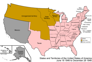
- Oregon Treaty of 1846: This treaty finally settled the border dispute. It gave the southern part of the Oregon Country, including all of present-day Idaho, to the United States.
Organizing U.S. Territories
Once the United States gained control of the land, it began to organize it into official territories. These territories were steps toward becoming states.
- Unorganized Territory (1846–1848): After the Oregon Treaty, the land was initially "unorganized." This meant it was U.S. territory but did not yet have its own formal government.
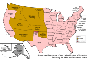
- Territory of Oregon (1848–1859): In 1848, the U.S. created the Territory of Oregon. This huge territory included all of present-day Idaho.
- State of Deseret (1849–1850): During this time, a group of settlers tried to create their own large state called Deseret. This was an unofficial attempt and was not recognized by the U.S. government.
- Territory of Washington (1853–1889): In 1853, the Territory of Washington was formed. It took over the northern part of the Oregon Territory. This included much of what is now northern Idaho.
The Creation of Idaho Territory
The land that would become Idaho was still part of other territories until 1863.
- Territory of Idaho (1863–1890): On March 3, 1863, the U.S. Congress created the Territory of Idaho. This was a very large territory. It included all of present-day Idaho, Montana, and most of Wyoming. Over time, parts of this territory were used to create other new territories.
- In 1864, the Territory of Montana was created from the eastern part of Idaho Territory.
- In 1868, the Territory of Wyoming was created from the southeastern part of Idaho Territory.
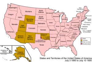
- Idaho Becomes a State (1890): After these changes, the Idaho Territory had its current borders. On July 3, 1890, Idaho officially became the 43rd state of the United States.
 | Aurelia Browder |
 | Nannie Helen Burroughs |
 | Michelle Alexander |


