Tilton River facts for kids
Quick facts for kids Tilton River |
|
|---|---|
|
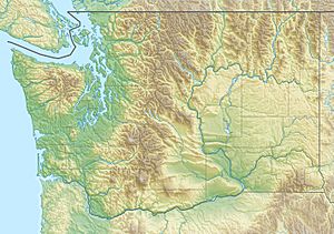
Location of the mouth of Tilton River in Washington
|
|
| Country | United States |
| State | Washington |
| County | Lewis |
| Physical characteristics | |
| Main source | Gifford Pinchot National Forest north of Morton 3,035 ft (925 m) 46°39′23″N 122°13′44″W / 46.65639°N 122.22889°W |
| River mouth | Cowlitz River Lake Mayfield 427 ft (130 m) 46°33′09″N 122°32′04″W / 46.55250°N 122.53444°W |
| Length | 29 mi (47 km) |
| Basin features | |
| Basin size | 154 sq mi (400 km2) |
The Tilton River is a river located in Washington State, United States. It is a smaller river that flows into the larger Cowlitz River. The river was named after James Tilton, who was a surveyor in the area a long time ago.
The Tilton River is about 29 miles (47 km) long. It flows entirely within Lewis County.
Where the River Flows
The Tilton River starts high up in the Cascade Range mountains. This mountain range is in the western part of North America.
Starting Point
The river's source is north of a famous volcano called Mount St. Helens. It is also southwest of another big mountain, Mount Rainier. This area is part of the Gifford Pinchot National Forest.
Journey to the Cowlitz River
From its starting point, the Tilton River flows mostly south and then west. It travels through different landscapes in Lewis County.
Finally, the Tilton River joins the Cowlitz River. This happens in a place called Lake Mayfield, which is near the town of Mossyrock.
River Facts
- Length: The Tilton River is about 29 miles (47 km) long.
- Location: It is completely within Lewis County, Washington.
- Source: It begins in the Gifford Pinchot National Forest.
- Mouth: It flows into the Cowlitz River at Lake Mayfield.
- Drainage Area: The area of land that drains water into the Tilton River is about 154 sq mi (400 km2).
 | May Edward Chinn |
 | Rebecca Cole |
 | Alexa Canady |
 | Dorothy Lavinia Brown |


