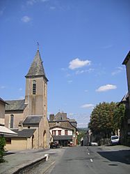
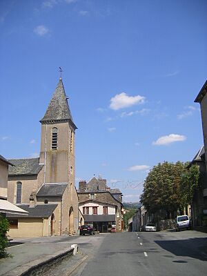
Trébas facts for kids
Quick facts for kids
Trébas
|
||
|---|---|---|

The church in Trébas
|
||
|
||
| Country | France | |
| Region | Occitanie | |
| Department | Tarn | |
| Arrondissement | Albi | |
| Canton | Carmaux-1 Le Ségala | |
| Intercommunality | Val 81 | |
| Area
1
|
5.67 km2 (2.19 sq mi) | |
| Population
(Jan. 2019)
|
410 | |
| • Density | 72.3/km2 (187.3/sq mi) | |
| Time zone | UTC+01:00 (CET) | |
| • Summer (DST) | UTC+02:00 (CEST) | |
| INSEE/Postal code |
81303 /81340
|
|
| Elevation | 206–523 m (676–1,716 ft) (avg. 216 m or 709 ft) |
|
| 1 French Land Register data, which excludes lakes, ponds, glaciers > 1 km2 (0.386 sq mi or 247 acres) and river estuaries. | ||
Trébas is a small town, also known as a commune, located in the southern part of France. It is found in the Tarn department, which is like a county, and is part of the Occitanie region.
Contents
What is a Commune?
A commune is the smallest type of administrative area in France. Think of it like a local town or village. Each commune has its own mayor and local government. This government helps manage things like local services and public spaces for the people living there.
Trébas: A French Commune
Trébas is one of many communes in France. It has a small population, making it a quiet place to live. The people who live in Trébas are called its residents. They elect a mayor to lead their local government.
Who is the Mayor of Trébas?
The mayor of Trébas is Patricia Bousquet. She was elected to serve from 2014 to 2020. The mayor's job is to look after the commune and its people. This includes managing local projects and representing the community.
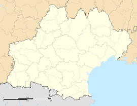
Where is Trébas Located?
Trébas is situated in the Occitanie region of southern France. This region is known for its beautiful landscapes and rich history. The commune is part of the Tarn department.
Geography of Trébas
Trébas covers an area of about 5.67 square kilometers. Its elevation, or how high it is above sea level, varies. The lowest point is around 206 meters, and the highest point reaches about 523 meters. This difference in elevation means the area might have hills or valleys.
Nearby Areas
Trébas is located in the Albi arrondissement. An arrondissement is a larger administrative area that groups several cantons together. Trébas is also part of the Carmaux-1 Le Ségala canton. Cantons are used for organizing elections and some local services.
Key Facts About Trébas
- Population: As of January 2019, Trébas had a population of 410 people. This makes it a very small community.
- Area: The commune covers 5.67 square kilometers.
- Elevation: It ranges from 206 meters to 523 meters above sea level.
- Postal Code: The postal code for Trébas is 81340.
- INSEE Code: The official statistical code for Trébas is 81303.
See also
 In Spanish: Trébas para niños
 | Emma Amos |
 | Edward Mitchell Bannister |
 | Larry D. Alexander |
 | Ernie Barnes |


