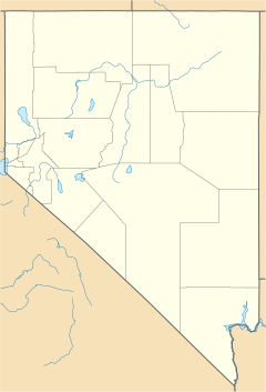
Weed Heights, Nevada facts for kids
Quick facts for kids
Weed Heights, Nevada
|
|
|---|---|
| Country | United States |
| State | Nevada |
| County | Lyon |
| Elevation | 4,666 ft (1,422 m) |
| Time zone | UTC-8 (Pacific (PST)) |
| • Summer (DST) | UTC-7 (PDT) |
| ZIP codes |
89447
|
| GNIS feature ID | 845727 |
Weed Heights is a small place in Lyon County, Nevada, USA. It is called an unincorporated community. This means it is not officially a city or town with its own local government. It is right next to the town of Yerington.
Contents
History of Weed Heights
Weed Heights was built in 1952 by a company called Anaconda Copper Company. The company created the community to support its nearby copper mine.
How Weed Heights Got Its Name
The community was named after Clyde E. Weed. He was a very important leader (a vice president) at Anaconda Copper.
Early Days and Ownership Changes
A post office was opened in Weed Heights on March 16, 1953. The Anaconda Copper Company owned the entire community for many years. Later, another company called Atlantic Richfield Company took over Anaconda.
In 1978, Atlantic Richfield Company stopped its mining work in the area. They sold the property in 1982 to Don Tibbals. He was a local leader, known as a County commissioner, in Lyon County.
Weed Heights Today
Don Tibbals later sold most of the property to a company called Arimetco. However, he kept the community of Weed Heights itself. Today, Weed Heights is a place where people can rent homes. It also has an RV park for people traveling in recreational vehicles.
See also
 In Spanish: Weed Heights (Nevada) para niños
 | James Van Der Zee |
 | Alma Thomas |
 | Ellis Wilson |
 | Margaret Taylor-Burroughs |


