Westport River facts for kids
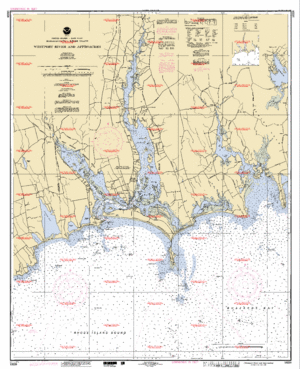
The Westport River is a beautiful waterway in Westport, Massachusetts. It flows between two larger bodies of water: Narragansett Bay and Buzzards Bay. This river is actually made up of two main parts, called branches, which come together before reaching the ocean.
Contents
Exploring the Westport River's Two Branches
The Westport River has two main parts, or branches. These branches flow through different areas before joining up. Let's learn about each one.
The Shorter West Branch
The West Branch is the smaller of the two. It is about 7 miles (11.3 kilometers) long. This branch starts where several small streams meet near Adamsville, Rhode Island. It flows towards the southeast. Along its path, it goes around a few small islands. Finally, it meets Westport Harbor, which is west of Westport Point.
The West Branch also separates a village called Acoaxet from the rest of Westport. To get from Acoaxet to other parts of Westport by land, you actually have to drive through Rhode Island!
The Longer East Branch
The East Branch is the bigger part of the Westport River. It is about 11.5 miles (18.5 kilometers) long. This branch begins at the border between Westport and Dartmouth. It starts at a place called Lake Noquochoke. This lake gets most of its water from the Copicut River and the Shingle Island River.
After a short distance, the East Branch meets Bread and Cheese Brook. Then, it reaches the village of Head of Westport. Here, the river becomes wider and deeper. The river continues flowing south. Several other small streams add water to it. It then widens to about 100 to 400 yards (91 to 366 meters) at Widows Point.
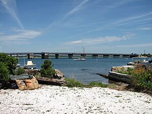
From Widows Point, the river flows straight south. It goes under the Hix Bridge. Then, it passes a spot called Gull Rock. After that, it widens even more at Cadman's Neck, becoming about half a mile (0.8 kilometers) wide. The river keeps flowing south. There are several larger islands along its way. It then meets the Horseneck Channel at Westport Point. This channel leads to another area called The Let. Finally, the East Branch flows under the Normand Edward Fontaine Bridge and into Westport Harbor.
Where the Branches Meet the Ocean
Once both branches are in Westport Harbor, they combine. The combined river then curves around Horseneck Point. This is across from a place called The Knubble. From there, the river flows into Rhode Island Sound. This spot is just west of Horseneck Beach State Reservation. It is also where Rhode Island Sound meets Buzzards Bay.
Amazing Wildlife of the Westport River
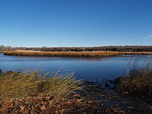
The Westport River is an estuary. An estuary is a place where fresh river water mixes with salty ocean water. These areas are very important for many animals. The Westport River estuary has been known for its rich wildlife for a long time.
Animals You Might See
You can often spot many different animals along the river's shore. These include:
- Deer
- Coyotes
- Foxes
- Turkeys
Ospreys: A Success Story
Ospreys are a type of bird of prey, like a hawk or eagle. They are very common around the Westport River. In 1980, experts found 41 osprey nests here. Thanks to a special nesting program in the Westport River estuary, the osprey population has grown a lot. Now, there are over 300 osprey nests across the entire state! MassWildlife helps to watch some of these nests. This helps them understand how well the ospreys are doing.
 | Stephanie Wilson |
 | Charles Bolden |
 | Ronald McNair |
 | Frederick D. Gregory |


