Wollaston Peninsula facts for kids
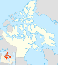
The Wollaston Peninsula is a piece of land that sticks out into the water. It is found on the southwestern part of Victoria Island in Canada. This peninsula points towards the west.
It has water on three sides:
- To the north, it is bordered by Prince Albert Sound.
- To the west, you'll find the Amundsen Gulf.
- To the south, it meets the Dolphin and Union Strait.
Most of the peninsula is in a part of Canada called Nunavut, specifically the Kitikmeot Region. A smaller part of it is in the Northwest Territories, in the Inuvik Region.
About the Wollaston Peninsula
The Wollaston Peninsula is quite large! It is about 225 kilometers (140 miles) long. Its width changes, being between 97 and 113 kilometers (60 and 70 miles) wide. The very western tip of the peninsula is called Cape Baring.
How the Peninsula Got Its Name
In 1826, the southern coast of this land was explored. An explorer named John Richardson and his surveyor, Edward Nicholas Kendall, saw it. They decided to name it "Wollaston Land."
They chose this name to honor a famous English scientist. His name was William Hyde Wollaston. He was a chemist who discovered two important elements: palladium and rhodium.
Connecting the Land
Later, in 1851, another explorer named John Rae traveled along most of the coast of this area. He proved something very important. He showed that "Wollaston Land" was actually connected to another area called "Victoria Land" to the east. This meant it was all part of one larger island, which we now know as Victoria Island.
 | Jackie Robinson |
 | Jack Johnson |
 | Althea Gibson |
 | Arthur Ashe |
 | Muhammad Ali |


