Agua Dulce Mountains facts for kids
Quick facts for kids Agua Dulce Mountains |
|
|---|---|
| Highest point | |
| Elevation | 2,852 ft (869 m) |
| Dimensions | |
| Length | 24 km (15 mi) |
| Width | 14 km (8.7 mi) |
| Area | 336 km2 (130 sq mi) |
| Geography | |
| Country | United States |
| State | Arizona |
| County | Pima |
| Range coordinates | 32°03′20″N 113°08′44″W / 32.05556°N 113.14556°W |
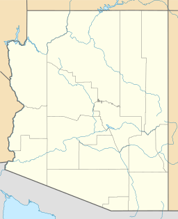
The Agua Dulce Mountains are a mountain range located in the southwestern part of Arizona. They are found in the north-central Sonoran Desert, a very hot and dry area. These mountains are in Pima County, Arizona, close to the border with Mexico. They are about 30 miles southwest of a town called Ajo, Arizona.
The mountain range is about 15 miles long and 9 miles wide. It is completely inside the Cabeza Prieta National Wildlife Refuge. The highest point in the range is 2,852 feet (869 meters) above sea level. This high point does not have a special name. However, it is marked on maps by the U.S. Geological Survey (USGS). A special marker, called a "Quitovaquita" benchmark, was placed there in 1920.
What's in a Name?
The name "Agua Dulce Mountains" has been used for at least 100 years. But on some older maps, these mountains were called "Sierra del Ojo" or "Sonoyta Mountains." Around 1920, the U.S. Army Corps of Engineers made a map that called them the "Quitovaquita Mountains." This name came from Quitobaquito Springs, which are about nine miles southeast of the mountains.
The name "Agua Dulce" means "sweet water" in Spanish. This name refers to pools of fresh water found on the Sonoyta River in Mexico, a few miles to the south. These fresh water pools are different from "Agua Salada," which means "salty water." Agua Salada is further down the river and has water that is very salty. There is also a small spring on the southern side of the Agua Dulce Mountains that is called Agua Dulce. However, it is more likely the mountains were named after the river pools. These pools were very important for travelers in the past.
History and Nature
The Agua Dulce Mountains are home to several old, abandoned mines. The most well-known ones are the Papago Mine and the Legal Tender Mine. People worked in these mines in the late 1800s and early 1900s. A well called Papago Well was dug nearby to provide water for the mines. Later, this well supplied water for cattle that grazed in the area. Today, a windmill at the well pumps water to a special watering spot for wildlife.
The area called Davidson Canyon, and the flat land south of the mountains, is special. It is where you can find the northernmost group of senita cactus (Pachycereus schottii). This tall, column-shaped cactus is very common in Mexico. But in the United States, it only grows in small areas. You can find it in Organ Pipe Cactus National Monument and in this isolated spot in the Cabeza Prieta National Wildlife Refuge.
See also
 In Spanish: Sierra de Agua Dulce para niños
 | William Lucy |
 | Charles Hayes |
 | Cleveland Robinson |


