Arlington, Colorado facts for kids
Quick facts for kids
Arlington, Colorado
|
|
|---|---|

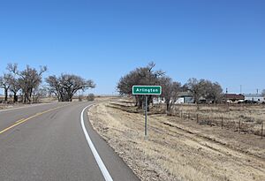
Entering from the west (2024)
|
|
| Country | |
| State | |
| County | Kiowa County |
| Established | 1887 |
| Elevation | 4,222 ft (1,287 m) |
| Time zone | UTC-7 (MST) |
| • Summer (DST) | UTC-6 (MDT) |
| ZIP Code |
81021
|
| Area code(s) | 719 |
| Highways | |
| GNIS feature ID | 0204825 |
Arlington is a small, unincorporated community in Kiowa County, Colorado, in the United States. An unincorporated community means it's not officially a city or town with its own local government. The area uses the ZIP Code 81021 for mail.
Contents
History of Arlington
How Arlington Started
The community of Arlington was created in 1887. It was established by the Missouri Pacific Railroad. Railroads often built towns along their routes. This helped them expand their services. The Arlington Post Office served the community for many years. It opened on August 16, 1887. It closed on October 15, 2011.
Arlington's Old Airfield
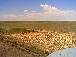
About three miles east of Arlington, you can find the site of a former airfield. It was called Arlington Auxiliary Army Air Field #4. This was one of many airfields used in Colorado during World War II. These "auxiliary" fields helped train pilots. They were like smaller practice areas for larger air bases.
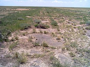
The runways at this old airfield have a unique triangular shape. You can still see this shape clearly from above. You can even notice it from the county road nearby. The east-west runway still has parts of its original asphalt. The plants growing there also show where the runway used to be.
Where is Arlington Located?
Arlington is located in Colorado. Its exact spot on a map is 38°20′08″N 103°20′33″W / 38.33556°N 103.34250°W. These numbers are called coordinates. They help pinpoint any place on Earth. Arlington is at 38.335597 degrees North latitude. It is also at -103.342552 degrees West longitude.
 | Anna J. Cooper |
 | Mary McLeod Bethune |
 | Lillie Mae Bradford |


