Asientos facts for kids
Quick facts for kids
Asientos
|
||
|---|---|---|
 |
||
|
||

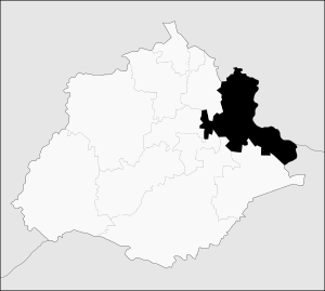
Municipality location in Aguascalientes
|
||
| Country | ||
| State | Aguascalientes | |
| Area | ||
| • Total | 547.22 km2 (211.28 sq mi) | |
| Population
(2015)
|
||
| • Total | 46,464 | |
| • Density | 84.9092/km2 (219.914/sq mi) | |
| Time zone | UTC-6 (CST) | |
| • Summer (DST) | UTC-5 (CDT) | |
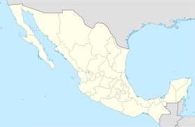
Asientos is a municipality in the Mexican state of Aguascalientes. A municipality is like a local government area, similar to a county. It is located at 22°14′N 102°05′W / 22.233°N 102.083°W.
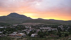
The main town in this area is called Real de Asientos. This town acts as the "municipal seat," which means it's where the local government offices are.
In 2006, Real de Asientos was named a Pueblo Mágico (Magical Town) by Mexico's Secretariat of Tourism (SECTUR). This special title is given to towns that have unique natural beauty, cultural riches, or historical importance. As of March 2021, it is one of three Magical Towns in the state of Aguascalientes.
In 2010, the Asientos municipality had a total population of 45,492 people.
Towns and Villages in Asientos
Besides the main town of Real de Asientos, the municipality has many other smaller communities. These are called localities. In 2010, there were 250 such places.
Some of the larger communities include:
- Villa Juárez (with 4,888 people in 2010)
- Ciénega Grande (3,348 people)
- Guadalupe de Atlas (2,259 people)
- Lázaro Cárdenas (1,583 people)
- Pilotos (1,331 people)
Geography of Asientos
The municipality of Asientos is found in the northeast part of the Aguascalientes state. It covers an area of about 547.74 square kilometers. This is about 9.84% of the state's total size.
The land in Asientos is quite varied, with altitudes ranging from 1,800 to 2,700 meters above sea level. This means it has both lower and higher areas.
Neighboring Areas
Asientos shares its borders with several other places:
- To the northeast, it borders the municipality of Tepezalá.
- To the west, it borders Pabellón de Arteaga.
- To the southeast, it borders San Francisco de los Romo and Aguascalientes municipalities.
- To the south, it borders El Llano.
- In the north and east, it borders the state of Zacatecas, specifically the municipalities of Loreto and Villa García.
- In the southeast, it borders the state of Jalisco, with the municipality of Ojuelos de Jalisco.
See also
 In Spanish: Municipio de Asientos para niños
 | Audre Lorde |
 | John Berry Meachum |
 | Ferdinand Lee Barnett |


