Aswapiswanan Lake facts for kids
Quick facts for kids Aswapiswanan Lake |
|
|---|---|
| Location | Census Division No. 22 - Thompson-North Central, Northern Region, Manitoba |
| Coordinates | 54°28′23″N 95°23′48″W / 54.47306°N 95.39667°W |
| Primary inflows | Hungry River, Porcupine Creek, Bolton River, Joint River |
| Primary outflows | Mink River |
| Basin countries | Canada |
| Max. length | 22 km (14 mi) |
| Max. width | 2.6 km (1.6 mi) |
| Surface elevation | 186 m (610 ft) |
Aswapiswanan Lake is a lake found in the northern part of Manitoba, Canada. It is part of the large Hayes River water system. The lake's waters eventually flow all the way to Hudson Bay.
Where is Aswapiswanan Lake?
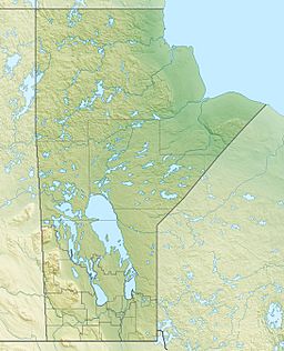
Aswapiswanan Lake is located in the Northern Region of Manitoba. It is found within Census Division No. 22. This area is known as Thompson-North Central.
Size and Elevation
Aswapiswanan Lake is about 22 kilometers (14 miles) long. It measures about 2.6 kilometers (1.6 miles) wide. The lake sits at an elevation of 186 meters (610 feet) above sea level.
How Water Flows In and Out
Several rivers and creeks flow into Aswapiswanan Lake. From west to east, these include the Hungry River, Porcupine Creek, the Bolton River, and the Joint River. The main river flowing out of the lake is the Mink River.
The water from Aswapiswanan Lake travels a long journey. It flows into Gods Lake. From there, it continues through the Gods River and then into the Hayes River. Finally, all this water reaches the vast Hudson Bay. This entire network of rivers and lakes is called the Hayes River drainage basin.
 | Toni Morrison |
 | Barack Obama |
 | Martin Luther King Jr. |
 | Ralph Bunche |


