Mink River (Manitoba) facts for kids
Quick facts for kids Mink River |
|
|---|---|
|
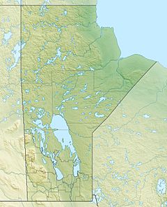
Location of the mouth of the Mink River in Manitoba
|
|
| Country | Canada |
| Province | Manitoba |
| Region | Northern |
| Census Division | No. 22 - Thompson-North Central |
| Physical characteristics | |
| Main source | Aswapiswanan Lake 186 m (610 ft) 54°27′46″N 95°15′50″W / 54.46278°N 95.26389°W |
| River mouth | Touchwood Lake 184 m (604 ft) 54°29′52″N 95°07′08″W / 54.49778°N 95.11889°W |
| Length | 14.7 km (9.1 mi) |
| Basin features | |
| River system | Hudson Bay drainage basin |
| Tributaries |
|
The Mink River is a small but important river located in the Manitoba province of Canada. It flows through the northern part of Manitoba, in an area known as the Northern Region. This river is part of a huge system of waterways that eventually lead to Hudson Bay.
Discover the Mink River
The Mink River is about 14.7 kilometers (or 9.1 miles) long. It starts its journey from Aswapiswanan Lake. The river begins at an elevation of 186 meters (about 610 feet) above sea level.
The River's Journey
As the Mink River flows, it collects water from other smaller streams. One important stream joins it from the left side. This stream comes from the Colen Lakes area. The river then continues its path until it empties into Touchwood Lake. At this point, the river is at an elevation of 184 meters (about 604 feet).
Flowing to Hudson Bay
The water from the Mink River doesn't stop at Touchwood Lake. Instead, it continues its long journey. From Touchwood Lake, the water flows into Gods Lake. After that, it travels through the Gods River and then the Hayes River. Finally, all these waters reach the vast Hudson Bay. This entire network of rivers and lakes is called the Hudson Bay drainage basin.
 | Delilah Pierce |
 | Gordon Parks |
 | Augusta Savage |
 | Charles Ethan Porter |


