Touchwood Lake (Manitoba) facts for kids
Quick facts for kids Touchwood Lake |
|
|---|---|
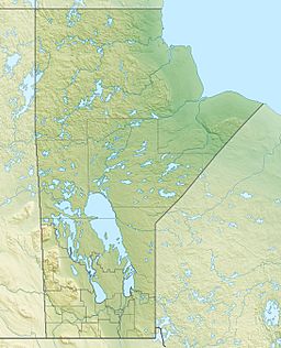
| Location | Census Division No. 22 - Thompson-North Central, Northern Region, Manitoba |
| Coordinates | 54°28′45″N 94°59′45″W / 54.47917°N 94.99583°W |
| Primary inflows | Mink River, Wanless Creek, Wapawukaw River |
| Primary outflows | Channel to Vermilyea Lake |
| Basin countries | Canada |
| Max. length | 22 km (14 mi) |
| Max. width | 2.6 km (1.6 mi) |
| Surface elevation | 184 m (604 ft) |
Touchwood Lake is a beautiful lake located in the northern part of Manitoba, Canada. It is part of a large area where water flows towards the Hayes River. This lake is a great example of the many natural wonders found in Canada's northern regions.
About Touchwood Lake
Touchwood Lake is quite long, stretching about 20.9 kilometres (13.0 mi). It is also about 4.4 kilometres (2.7 mi) wide. The lake sits at an elevation of 184 metres (604 ft) above sea level. This means it's not very high up, but it's still an important part of the local landscape.
Where is Touchwood Lake?
The lake is found in a region of Manitoba called Census Division No. 22 - Thompson-North Central. This area is part of the Northern Region of Manitoba. It's a remote and wild part of Canada.
How Water Flows Through Touchwood Lake
Water flows into Touchwood Lake from several rivers and creeks. The main ones are the Mink River, Wanless Creek, and the Wapawukaw River. These rivers bring fresh water into the lake.
The water then flows out of Touchwood Lake through a channel. This channel leads to another lake called Vermilyea Lake. From there, the water continues its journey. Eventually, it reaches Gods Lake.
After Gods Lake, the water travels through the Gods River. This river then joins the Hayes River. Finally, all this water empties into Hudson Bay. This shows how all the lakes and rivers are connected in a big system.
 | Dorothy Vaughan |
 | Charles Henry Turner |
 | Hildrus Poindexter |
 | Henry Cecil McBay |


