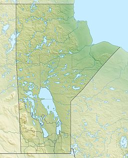
Vermilyea Lake facts for kids
Quick facts for kids Vermilyea Lake |
|
|---|---|
| Location | Census Division No. 22 - Thompson-North Central, Northern Region, Manitoba |
| Coordinates | 54°31′38″N 94°46′51″W / 54.52722°N 94.78083°W |
| Primary inflows | Channel from Touchwood Lake |
| Primary outflows | Wesachewan River |
| Basin countries | Canada |
| Max. length | 22 km (14 mi) |
| Max. width | 2.6 km (1.6 mi) |
| Surface elevation | 184 m (604 ft) |
Vermilyea Lake is a cool lake found in the northern part of Manitoba, Canada. It's part of a big area where all the water flows into the Hayes River. Imagine a giant "L" shape lying on its side – that's what Vermilyea Lake looks like!
Discovering Vermilyea Lake
Vermilyea Lake is about 9.3 kilometres (5.8 mi) long and 8.2 kilometres (5.1 mi) wide. It sits quite high up, at an elevation of 184 metres (604 ft) above sea level. This means it's higher than many other places around it.
Where the Water Comes From
The main water source for Vermilyea Lake is a channel that flows in from Touchwood Lake. Think of it like a natural river connecting the two lakes. This channel keeps Vermilyea Lake filled with fresh water.
The Journey of the Water
Water from Vermilyea Lake doesn't stay put. It flows out through two channels that form the start of the Wesachewan River. This river then carries the water to Gods Lake. From Gods Lake, the water continues its journey down the Gods River. Finally, the Gods River joins the Hayes River, and all this water eventually reaches the huge Hudson Bay. It's like a long, watery adventure from the lake to the sea!
 | Delilah Pierce |
 | Gordon Parks |
 | Augusta Savage |
 | Charles Ethan Porter |


