
Bajura, Isabela, Puerto Rico facts for kids
Quick facts for kids
Bajura
|
|
|---|---|
|
Barrio
|
|

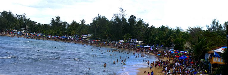
Buying drinks at the Rip Curl contest in 2003 at Jobos Beach in Bajura
|
|

Location of Bajura within the municipality of Isabela shown in red
|
|
| Lua error in Module:Location_map at line 416: Malformed coordinates value. | |
| Commonwealth | |
| Municipality | |
| Area | |
| • Total | 4.89 sq mi (12.7 km2) |
| • Land | 1.61 sq mi (4.2 km2) |
| • Water | 3.28 sq mi (8.5 km2) |
| Elevation | 7 ft (2 m) |
| Population
(2010)
|
|
| • Total | 663 |
| • Density | 411.8/sq mi (159.0/km2) |
| Source: 2010 Census | |
| Time zone | UTC−4 (AST) |
| ZIP Code |
00662
|
| Area code(s) | 787/939 |
Bajura is a small community, also called a barrio, located in the town of Isabela, Puerto Rico. In 2010, about 663 people lived there. It's known for its beautiful Jobos Beach, a popular spot for surfing.
Contents
History of Bajura
How Bajura Became Part of the U.S.
Bajura, like the rest of Puerto Rico, has an interesting past. After the Spanish–American War in 1898, Spain gave Puerto Rico to the United States. This happened because of a special agreement called the Treaty of Paris of 1898. From then on, Puerto Rico became a territory of the United States.
Counting the People in Bajura
Soon after, in 1899, the United States Department of War started counting how many people lived in Puerto Rico. This count is called a census. The first census showed that 647 people lived in Bajura. Over the years, the number of people living in Bajura has changed, as you can see in the table below.
| Historical population | |||
|---|---|---|---|
| Census | Pop. | %± | |
| 1900 | 647 | — | |
| 1910 | 745 | 15.1% | |
| 1920 | 713 | −4.3% | |
| 1930 | 607 | −14.9% | |
| 1940 | 718 | 18.3% | |
| 1950 | 732 | 1.9% | |
| 1980 | 400 | — | |
| 1990 | 466 | 16.5% | |
| 2000 | 501 | 7.5% | |
| 2010 | 663 | 32.3% | |
| U.S. Decennial Census 1899 (shown as 1900) 1910-1930 1930-1950 1980-2000 2010 |
|||
Gallery
-
Surfing contest at Jobos Beach in Bajura

See also
 In Spanish: Bajura (Isabela) para niños
- List of communities in Puerto Rico
