Balta, Kansas facts for kids
Quick facts for kids
Balta, Kansas
|
|
|---|---|

|
|
| Country | United States |
| State | Kansas |
| County | Russell |
| Elevation | 1,877 ft (572 m) |
| Time zone | UTC-6 (CST) |
| • Summer (DST) | UTC-5 (CDT) |
| ZIP code |
67665
|
| Area code | 785 |
| FIPS code | 20-03925 |
| GNIS ID | 484725 |
Balta is a small place in Russell Township, Russell County, Kansas, Kansas, United States. It is an unincorporated area. This means it does not have its own local government. Today, Balta is mainly known for an agricultural cooperative facility. This facility helps farmers in the area. It is located about 2 miles west of the city of Russell. There is no actual community or town at Balta anymore.
A Glimpse into Balta's Past
Balta was once a busy stop along the Union Pacific Railroad line. Trains would pass through here regularly. This made it an important spot for travel and trade in the past.
Where is Balta Located?
Balta is located in the state of Kansas. Its exact location is 38°53′5″N 98°54′56″W / 38.88472°N 98.91556°W. This spot is about 1,877 feet (572 meters) above sea level.
The area is part of the Smoky Hills region. This region is known for its rolling hills and grasslands. It is also part of the larger Great Plains area. Balta is situated near Fossil Creek. This creek flows into the Smoky Hill River. The Smoky Hill River is an important waterway in Kansas.
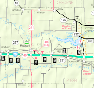
Balta is about 0.75 miles north of Fossil Creek. It is also roughly 1.4 miles north of Interstate 70. Interstate 70 is a major highway that crosses the United States. The city of Russell is about 3 miles east of Balta. Russell is the county seat for Russell County. This means it is where the main government offices for the county are located.


