Batil Spur facts for kids


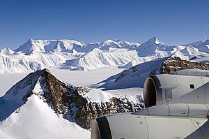
Batil Spur (which means 'Batilov Rid' in Bulgarian) is a long, rocky ridge in Antarctica. It stretches for about 3.9 kilometers (2.4 miles) and is 1.3 kilometers (0.8 miles) wide. This spur forms the very southeastern tip of a group of hills called Flowers Hills.
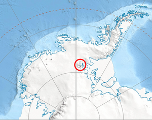
You can find Batil Spur on the eastern side of the Sentinel Range, which is part of the larger Ellsworth Mountains. To its east, it overlooks the huge Rutford Ice Stream. To its west, it is surrounded by the ends of smaller ice streams that flow from Sikera Valley and Doyran Heights.
This rocky feature is named after a medieval fortress called Batil, which was located in Western Bulgaria.
Where is Batil Spur?
The lowest point of Batil Spur is about 400 meters (1,312 feet) high. It is located at 78°32′43″S 83°45′36″W / 78.54528°S 83.76000°W.
Here are some distances to other nearby places:
- It is 13.4 kilometers (8.3 miles) southeast of Gubesh Peak.
- It is 21 kilometers (13 miles) north-northeast of Long Peak in Petvar Heights.
- It is 13.3 kilometers (8.3 miles) northeast of Johnson Spur.
- It is 13.07 kilometers (8.1 miles) east-southeast of Taylor Spur in Doyran Heights.
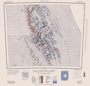
The United States created maps of this area in 1961 and again in 1988.
 | Sharif Bey |
 | Hale Woodruff |
 | Richmond Barthé |
 | Purvis Young |


