Sikera Valley facts for kids


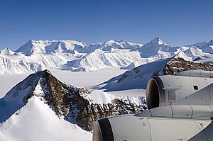
Sikera Valley is a large valley in Antarctica that is completely filled with ice. It stretches about 17 kilometers (10.5 miles) long and 5.7 kilometers (3.5 miles) wide. This icy valley is found on the eastern side of the Sentinel Range, which is part of the Ellsworth Mountains. It sits right between two important areas: Doyran Heights and Flowers Hills.
The valley gets its name from an old fortress called Sikera, which was located in southeastern Bulgaria.
What is Sikera Valley Like?
Sikera Valley is a significant feature in the icy landscape of Antarctica. It's not just a flat area; it's a deep valley that has been carved out and filled with a lot of ice.
How Does Ice Move Through the Valley?
A steep glacier, about 4 kilometers (2.5 miles) long, flows into Sikera Valley. This glacier starts from Mount Havener in Doyran Heights and moves northeastwards. It empties its ice into the upper part of Sikera Valley, just south of a place called Kostinbrod Pass.
Once the ice is in Sikera Valley, it continues to move. The valley ice flows southeastwards, eventually joining the massive Rutford Ice Stream. Ice streams are like fast-moving rivers of ice that carry ice from the land out to the ocean.
Where is Sikera Valley Located?
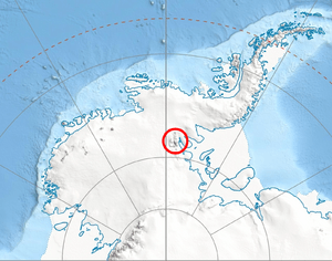
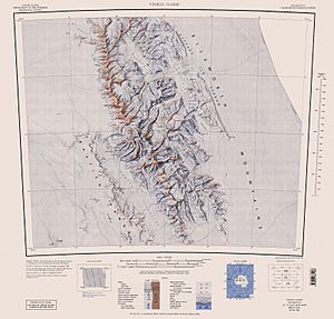
Sikera Valley is located in a very remote part of West Antarctica. Its exact center coordinates are 78°30′00″S latitude and 84°13′00″W longitude. The United States mapped this area in 1988, helping us understand its position better.
 | Isaac Myers |
 | D. Hamilton Jackson |
 | A. Philip Randolph |


